Try it free for 30 days — then just £2.50/month.
Byways, Restricted Byways & Bridleways · England & Wales

Find every green lane in Britain.

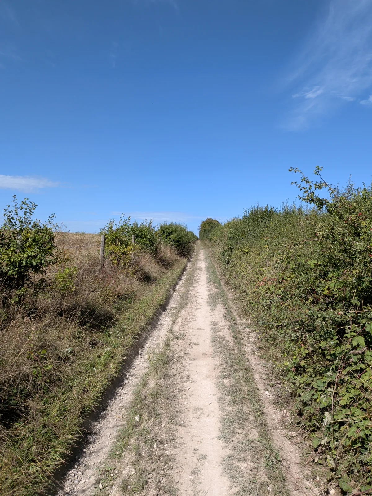
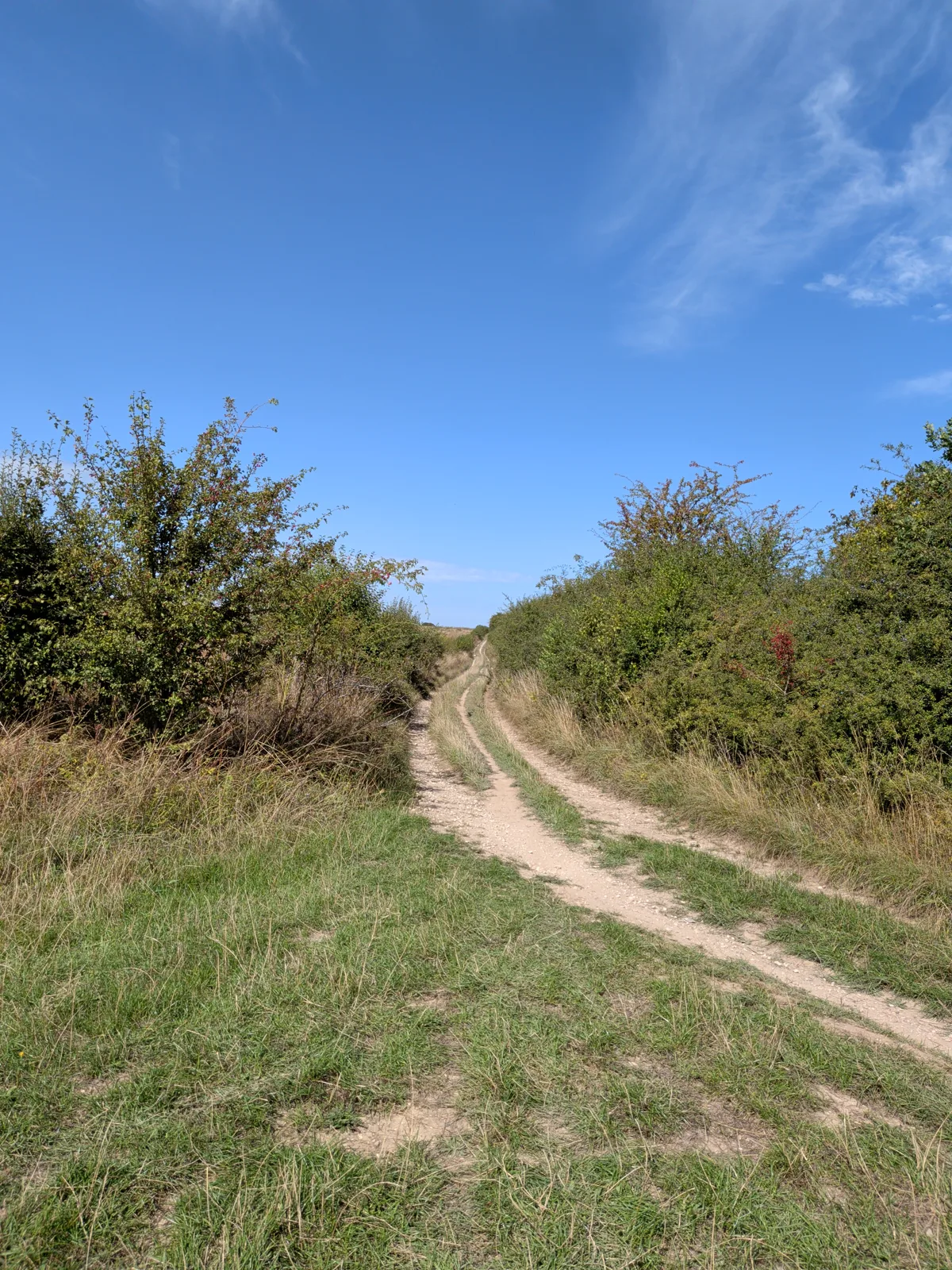
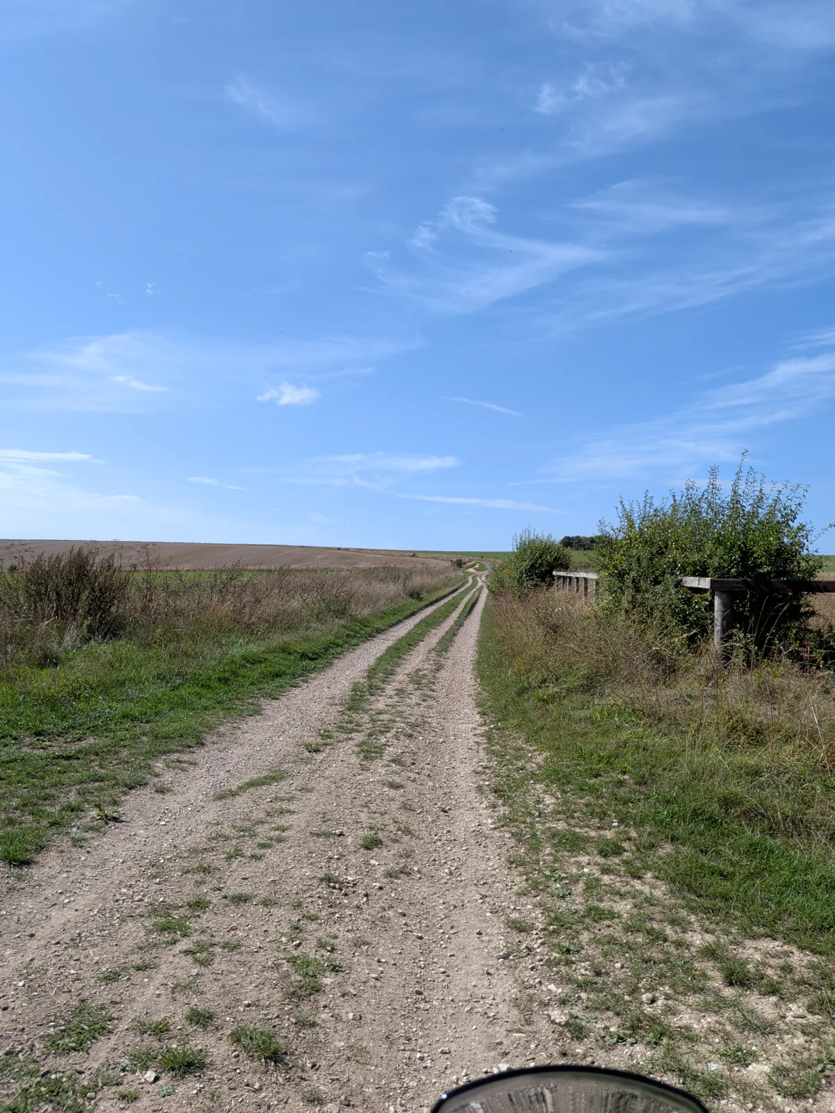
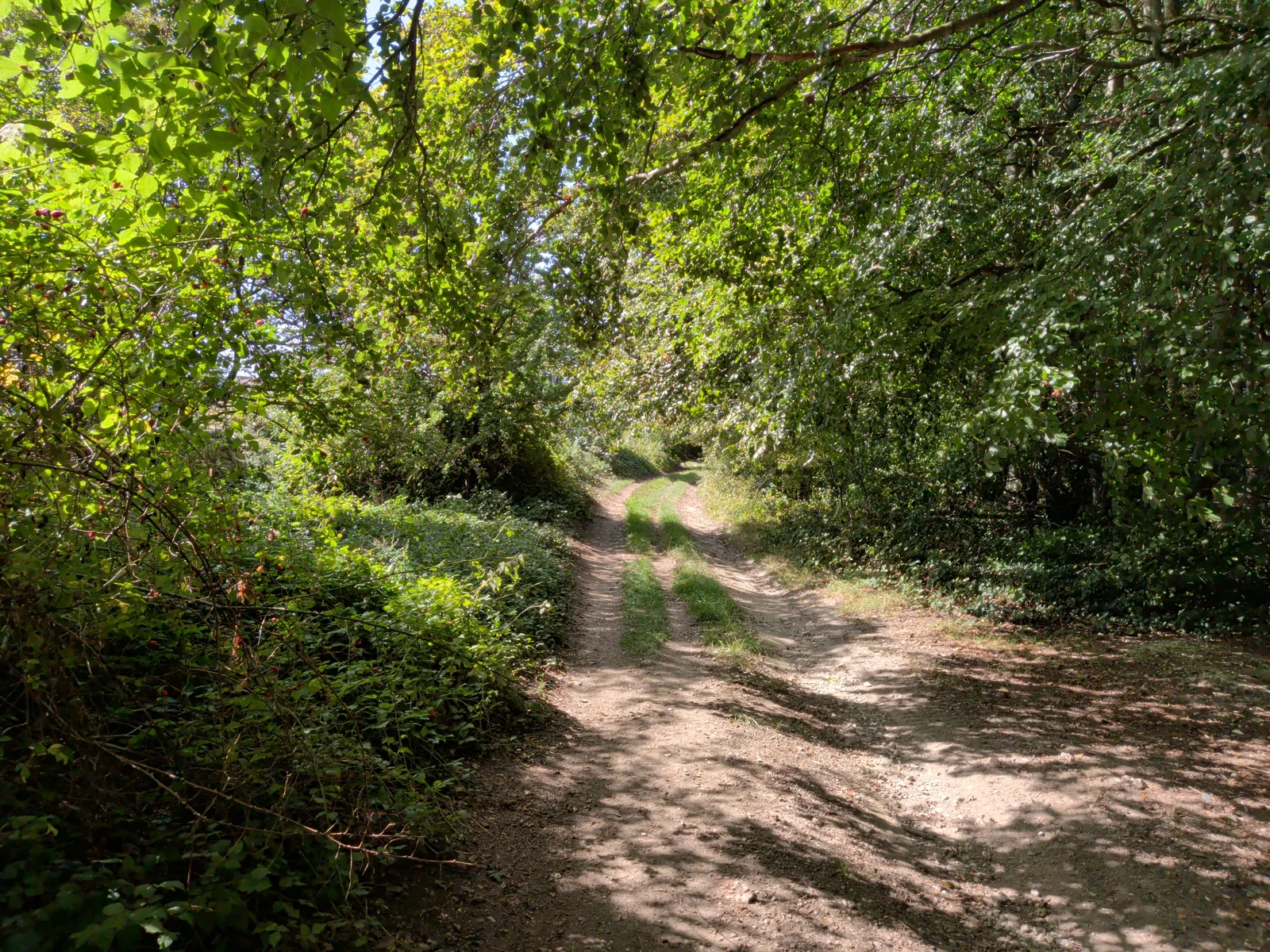
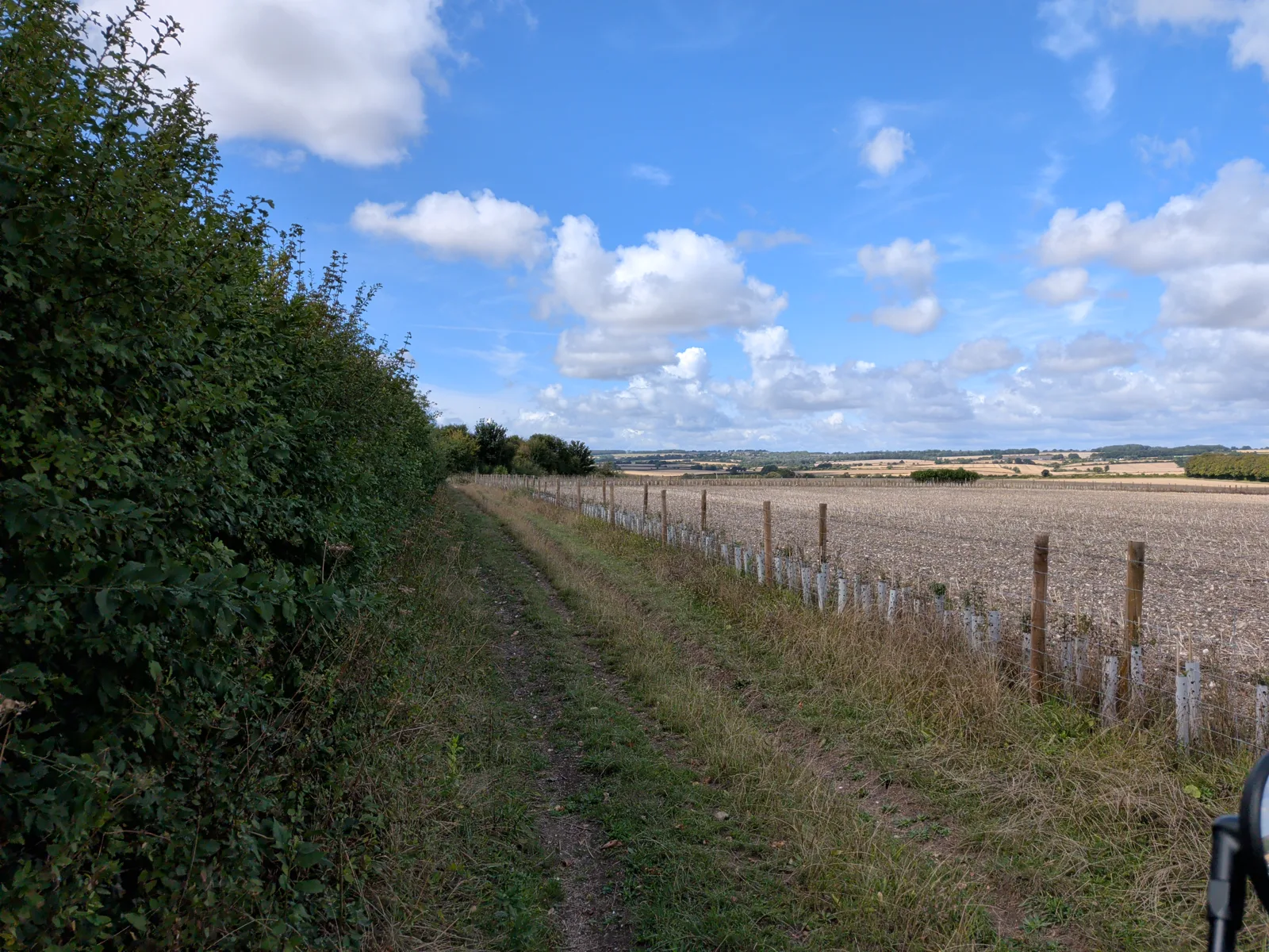
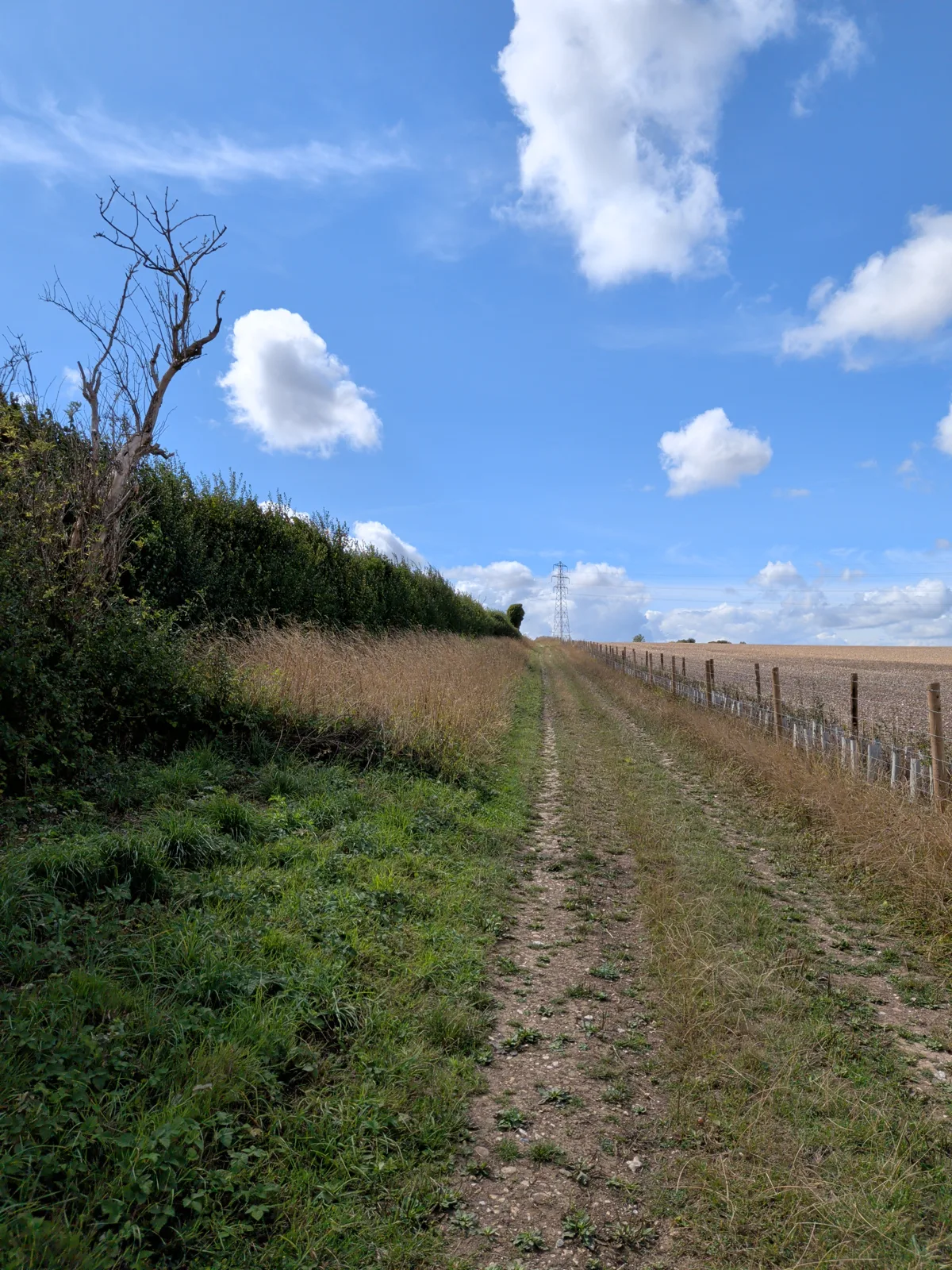
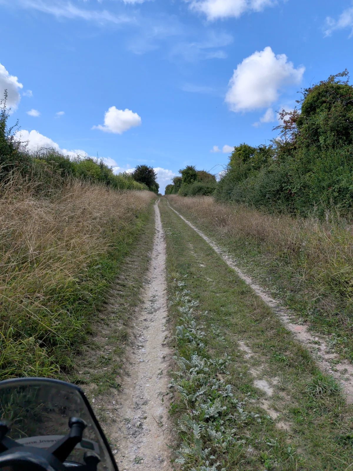
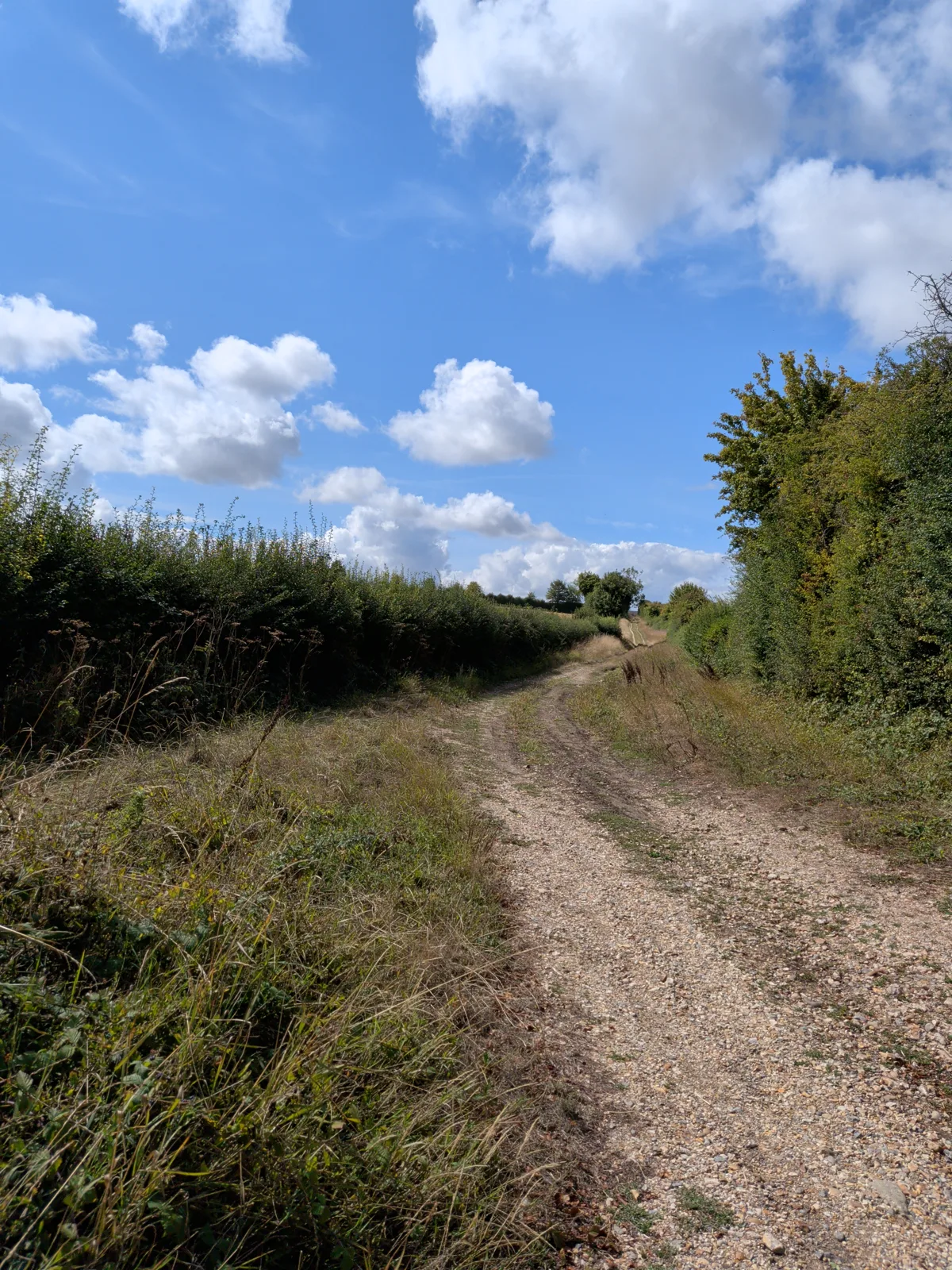
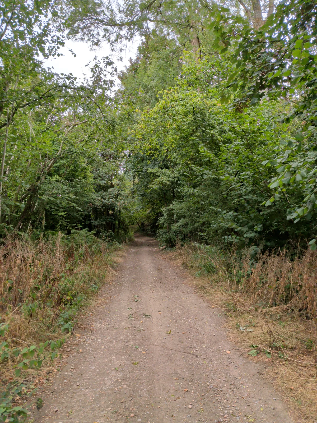
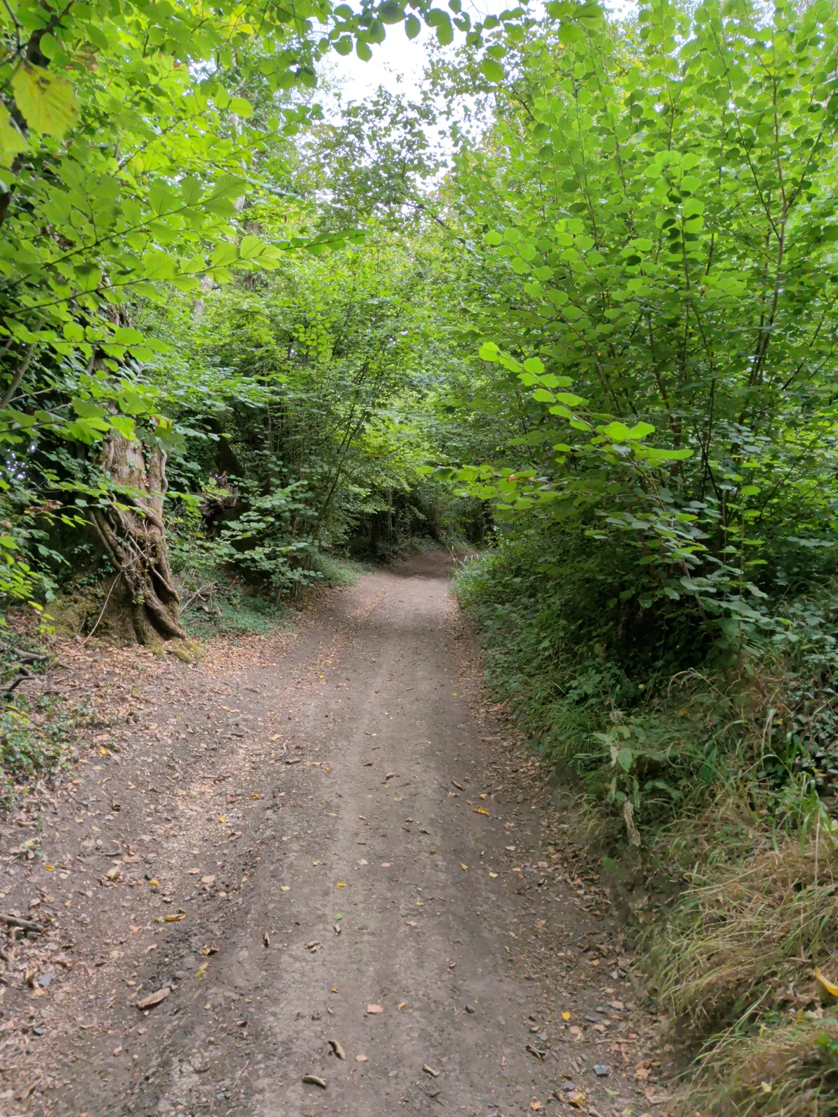
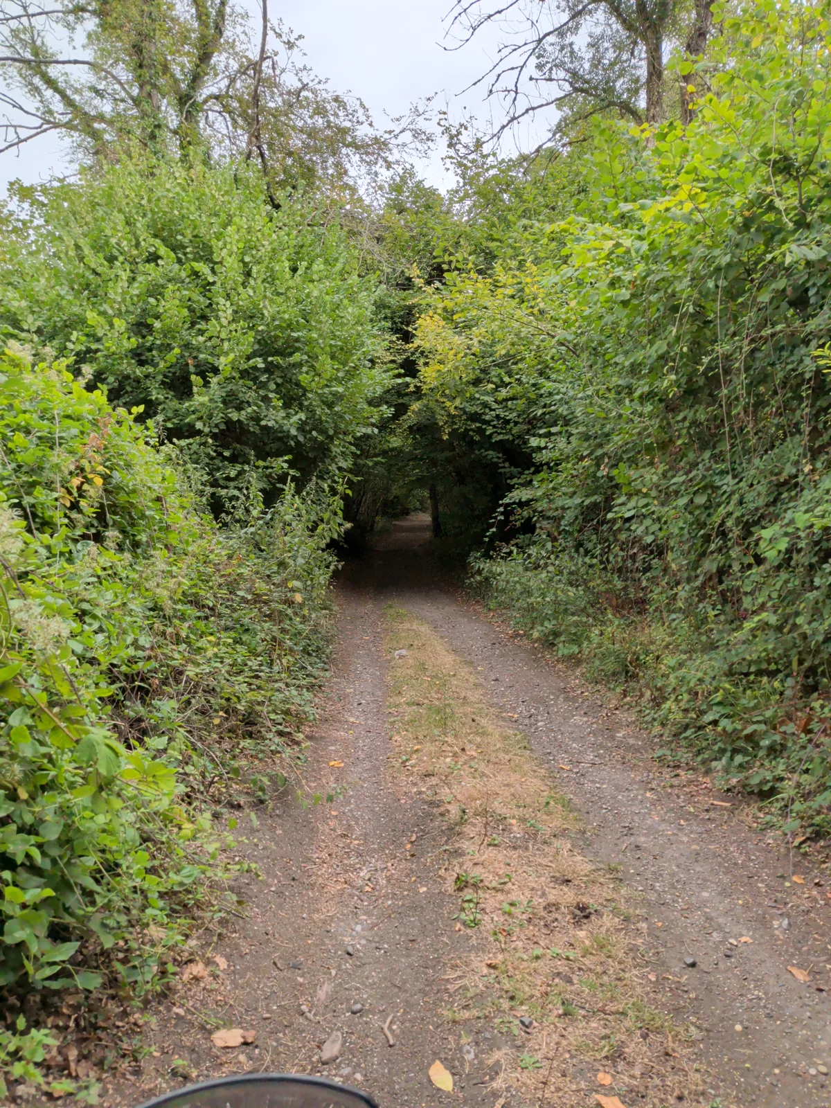
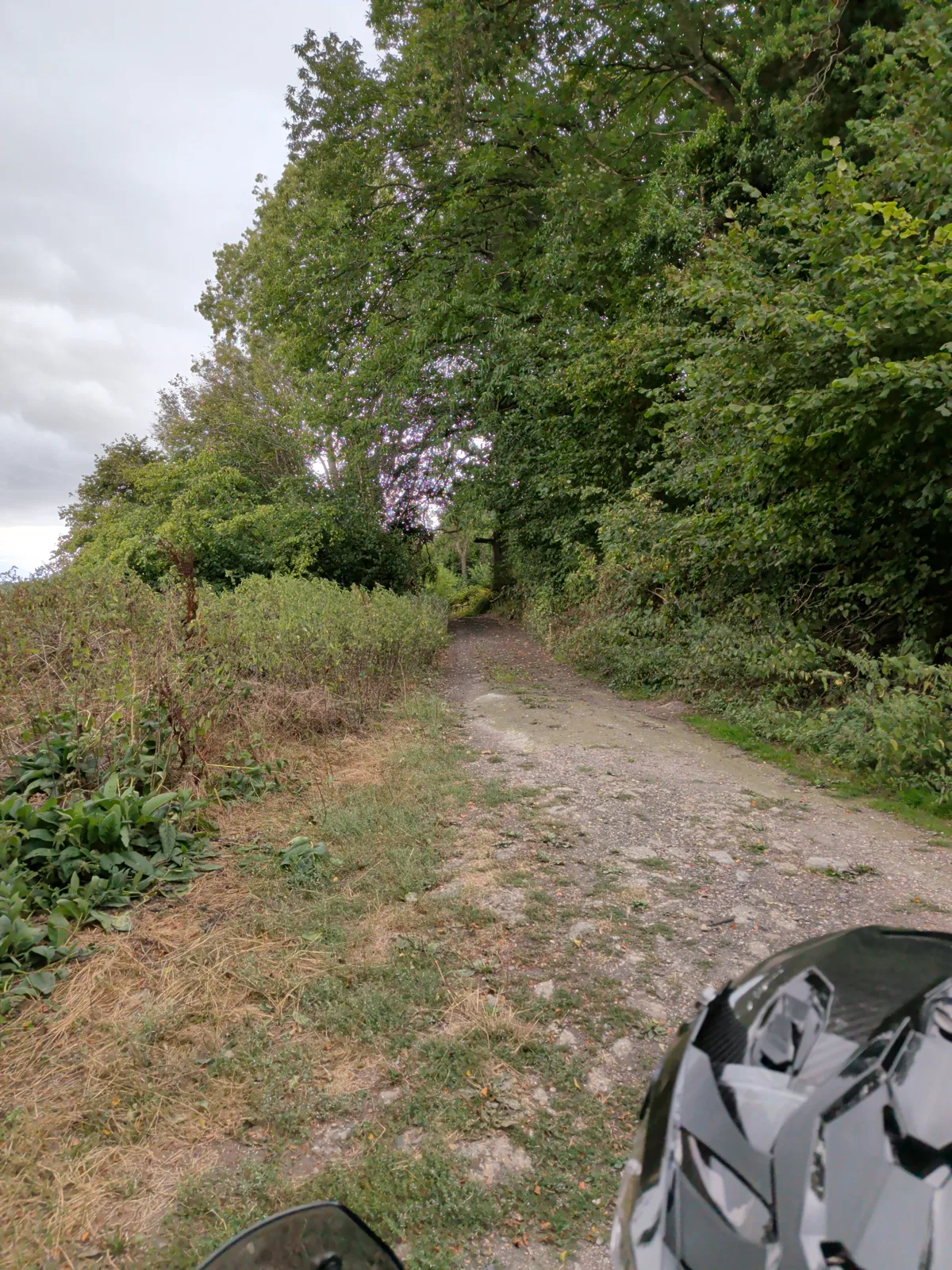
The unsealed, half-forgotten tracks the law still lets you travel — for 4×4 green-laners, adventure motorcyclists and trail riders. Explore the whole network, save the lanes you love, navigate to your chosen byway and much much more.

76,606lanes mapped
20,579miles mapped
What's on the map

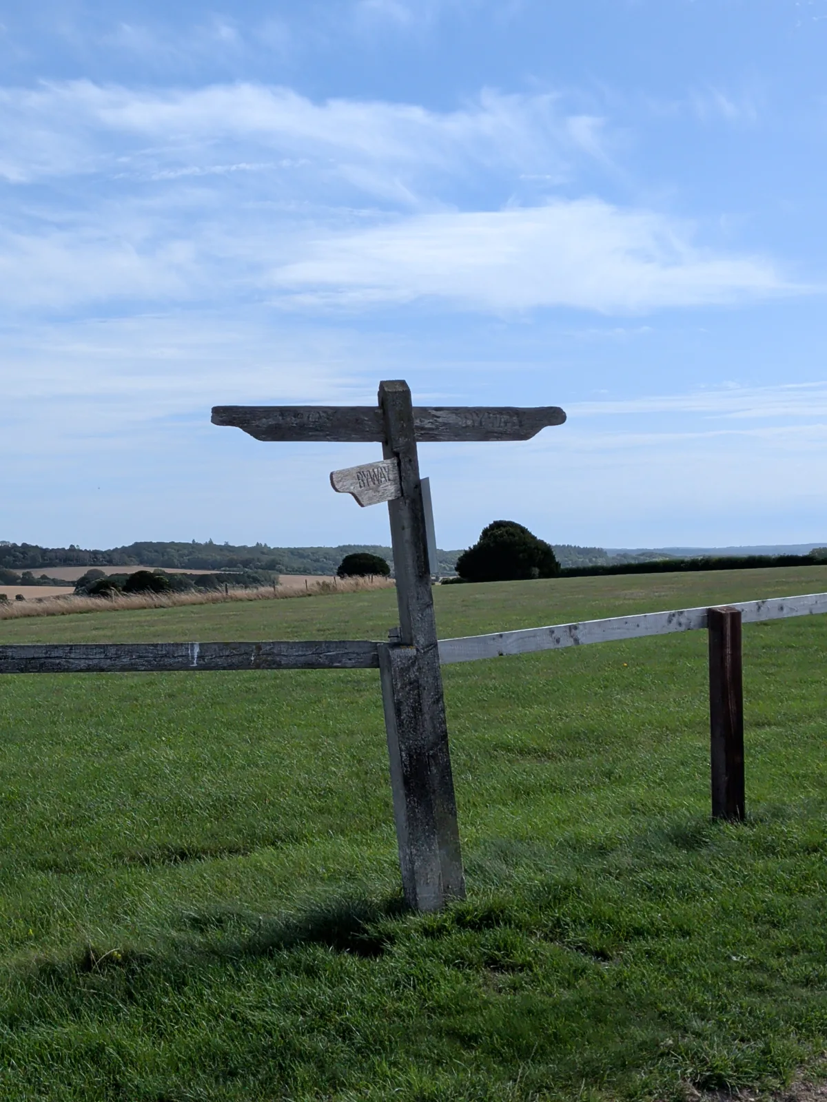
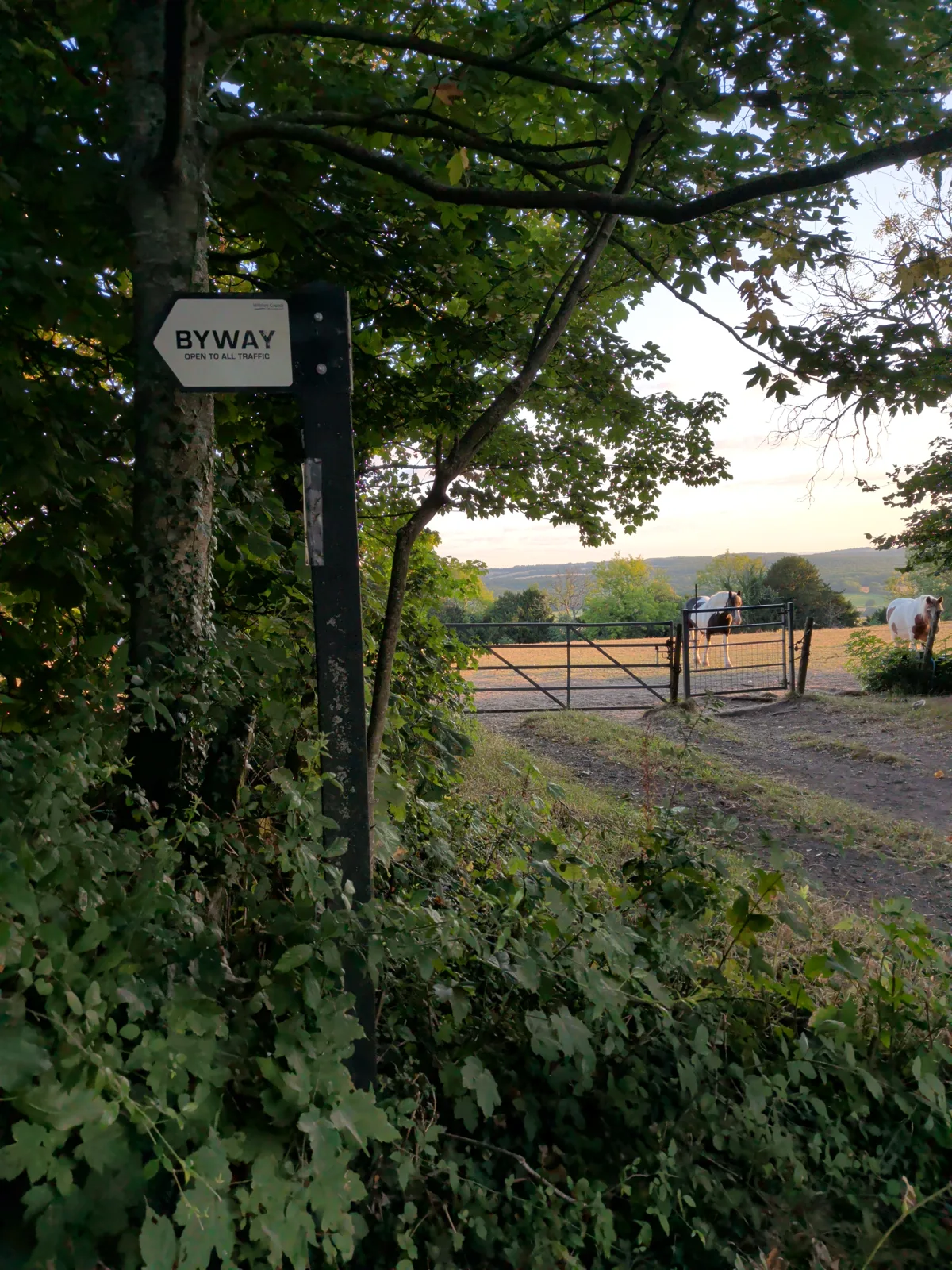
Byway Open to All Traffic

Open to everything — 4×4s and motorcycles included.

Restricted Byway

No motor vehicles permitted.

Bridleway

No motor vehicles permitted.

Community Routes

Member-drawn routes across the network.

See it in action

The map, the lanes, the community.

The Find Green Lanes map showing the byway network, with one lane open: a rider's review and comments, photos, ratings and pins along the route.
The whole network on screen — open any lane for its elevation profile, surface, ratings and comments.
Find Green Lanes on a phone, showing a dense network of byways around Salisbury Plain.
The whole network in your pocket.
A lane on mobile with a rider's write-up of the route — the climb, the surface and how it rode — followed by a reply with photos taken from the saddle.
Real conditions from real riders.
A member profile on mobile — vehicle, interests, contribution stats, points and leaderboard rank.
Build a profile and climb the leaderboard.
The group chat room on mobile — members swapping local knowledge and route tips.
Talk to everyone in the group chat.
The Activity panel showing a grid of geotagged photos shared by the community.
Photos from the community, dropped where they were taken.
What you can do

Everything you need to get out there.

THE NETWORK

See the whole map

Pan and zoom every byway in Britain on Standard, Satellite, Topo or Cycle layers — then filter by rating, difficulty, photos or your favourites.

SEARCH

Search the whole map

Find any place, named lane or route in one search — tap a result to fly straight there.

YOUR LANES

Save & name favourites

Star a lane, give it your own name, and fly straight back to it whenever you like.

YOUR ROUTES

Draw & share your own routes

Trace a route on the map, set its difficulty, surface and firmness, and save it — public for everyone or private just for you. Each route works like a lane of its own, with ratings, comments, photos and a GPX download.

DROP A PIN

Pin the spots that matter

Right-click anywhere to drop a pin and pick its type — parking, a gate, a ford, a viewpoint and more — each shown with its own icon on the map. Add a name and notes, keep it private or share it with everyone, and navigate straight to it.

RATE & GRADE

Rate and grade every lane

Give a lane a star rating and a difficulty grade, from Easy to Severe. See the community average before you set off.

ELEVATION

Know the climbs

Every lane and route gets an elevation profile — total ascent, descent and the gradient before you commit.

PHOTOS

Photos, pinned to the map

Add photos to any lane — and geotagged shots drop as little thumbnails right where they were taken.

COMMENTS

Talk to the community

Share what a lane's really like — surface, gates, conditions. Reply to others and react with emoji.

REVIEWS

Write & read route reviews

Flag any comment as a review to write a lane up as a full trip report — with photos, likes and replies. Browse everyone's reviews in one place and jump straight to the lane.

LEADERBOARD

Climb the leaderboard

Earn points for everything you add — naming lanes, comments, photos, ratings, routes and pins. The top ten contributors get a 🥇 beside their name; tap 🏆 to see where you rank.

PRIVATE NOTES

Notes just for you

Keep private notes on any lane — gate codes, parking, where to turn round — with photos. Only you can see them.

PROFILES

Meet other explorers

Build a profile around your vehicle and interests, and tap anyone's name to see the lanes they've named and explored.

FOLLOWING

Follow the people you trust

Follow other members and get a feed of their latest lanes, routes, photos and comments.

EXPLORE

See what's new

A live feed of the latest activity and a photo wall from across the whole community.

AI SUMMARY

Catch up in seconds

An AI digest of what the community's been up to — new lanes, routes, reviews, photos and members — in a friendly daily round-up you can tap straight through to.

MESSAGES

Message the community

Send instant direct messages to other members — swap local knowledge, plan a ride, or ask about a lane one-to-one. Or post to everyone at once in the group chat, where you can share routes and pins with all members.

MEMBERS NEAR ME

Find folk near you

See other members ordered by how close they are to you — a simple way to find people laning in your part of the country.

GET THERE

Navigate, preview & download

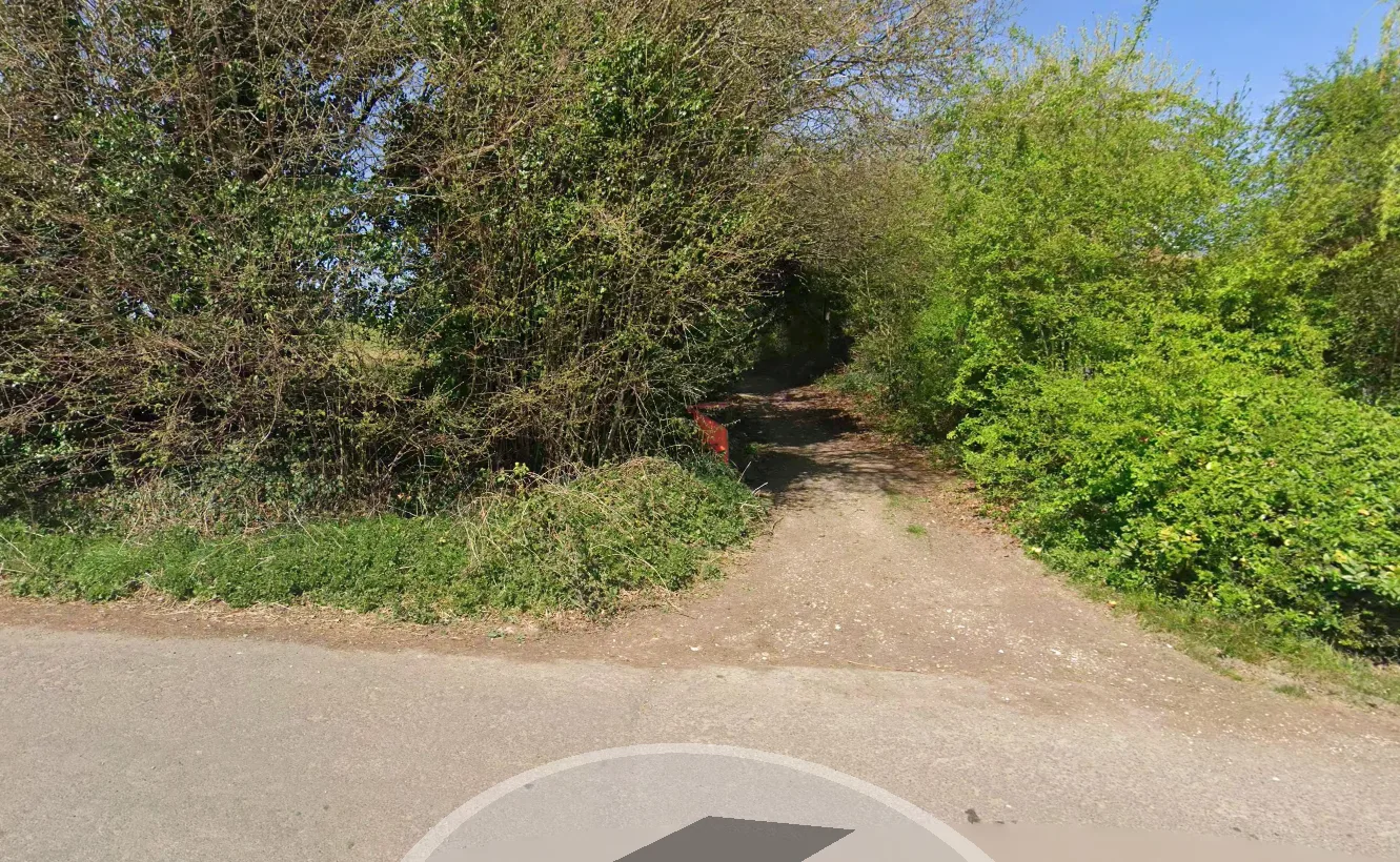
Directions to the trailhead, a Street View peek at the entrance, or the full track as a GPX file for OsmAnd, Gaia and Komoot. Got a track already? Import a GPX file straight into your routes — we'll work out the elevation for you.

ON THE TRAIL

Follow your live location

Switch on live follow and the map locks to you, moving as you ride so you can see exactly where you are along the lane.

GLOVES ON

Big buttons, built for gloves

The whole interface is built glove-friendly — oversized buttons, menus and controls throughout — so you can work the map, filter, comment and share without peeling your gloves off.

INSTALL

Add it to your phone

Install Find Green Lanes straight from your browser for a full-screen, app-like experience — launched from your home screen, no address bar.

Make your mark

Found a nameless lane? Name it.

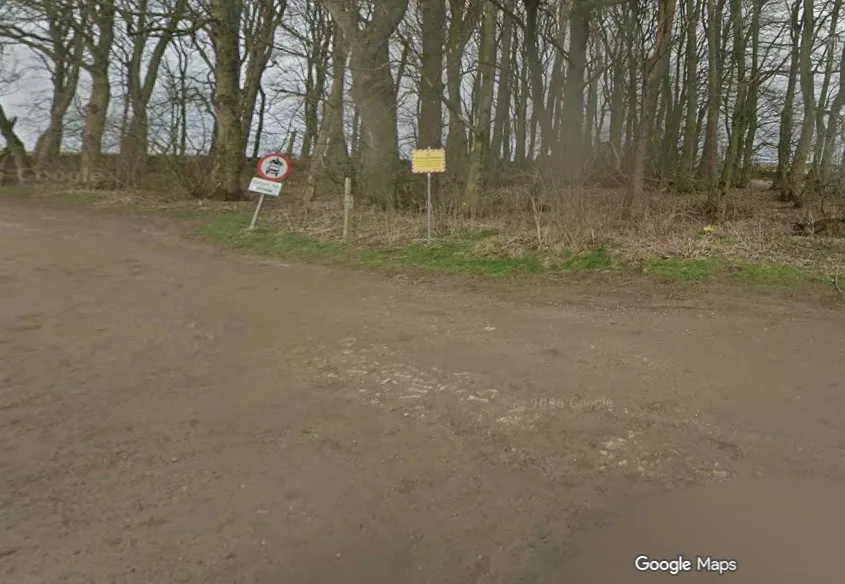
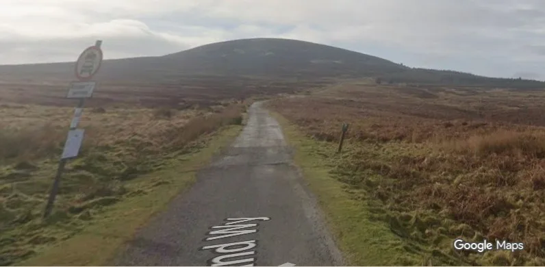
Thousands of these tracks have no name at all. Be the first to name one and it's yours — shown to everyone who finds it, for good.

named by you
The story

About Find Green Lanes

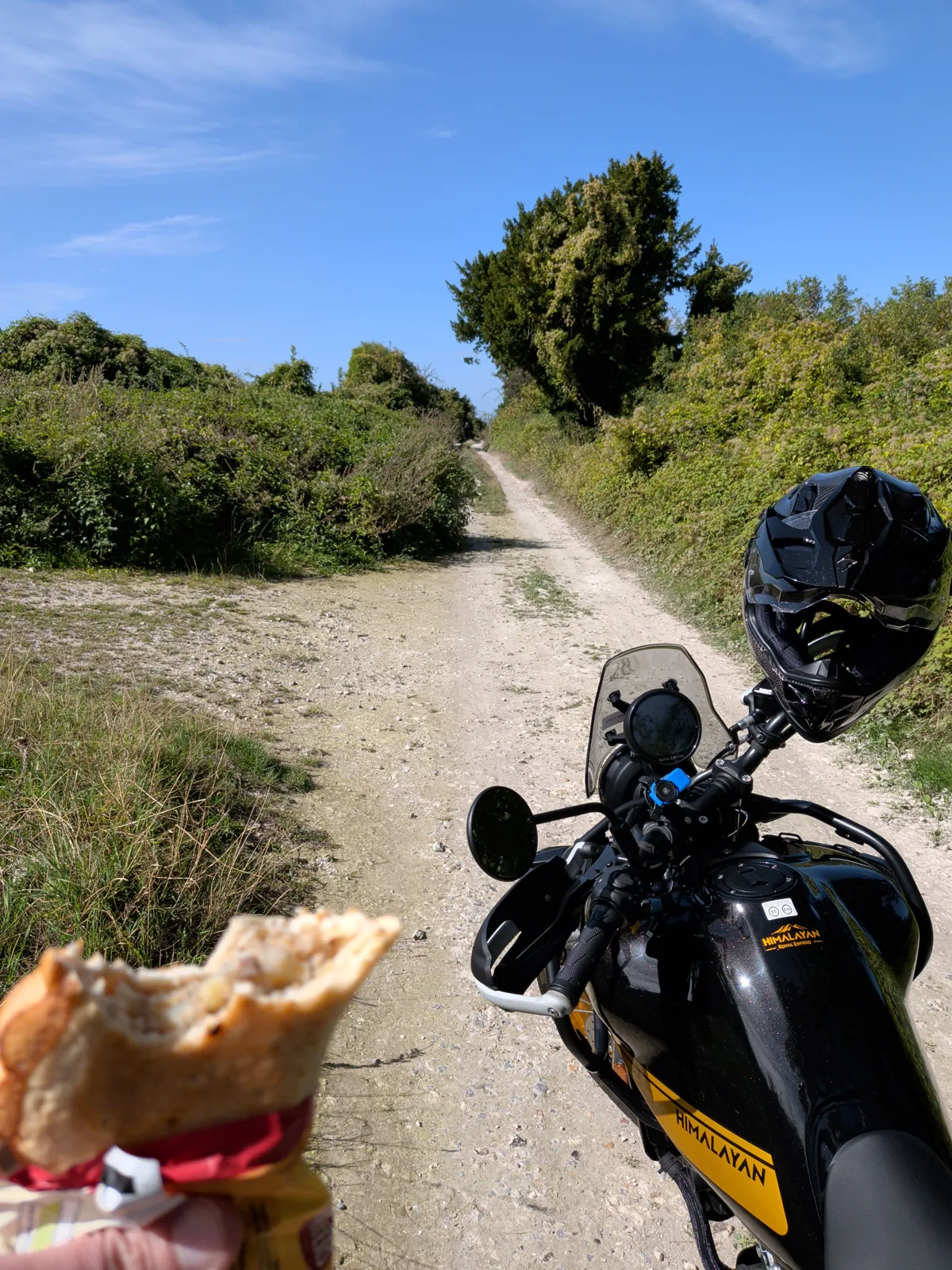
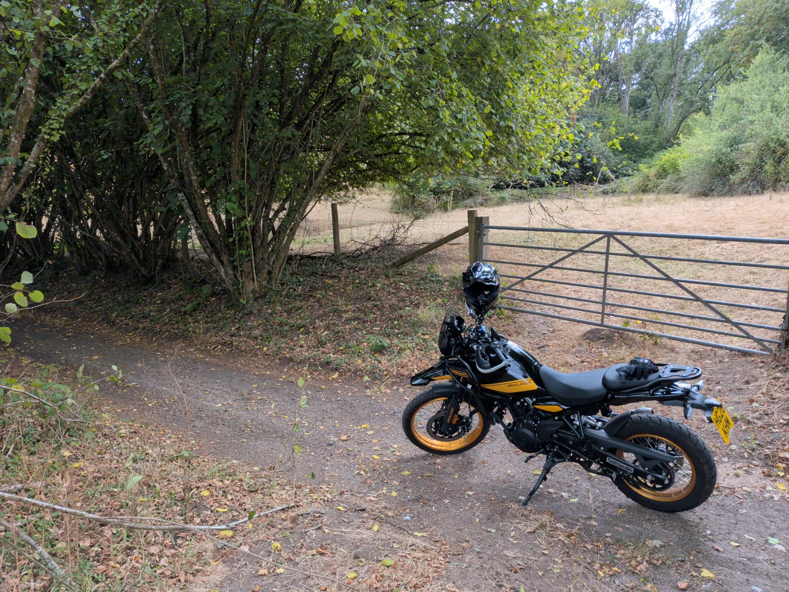
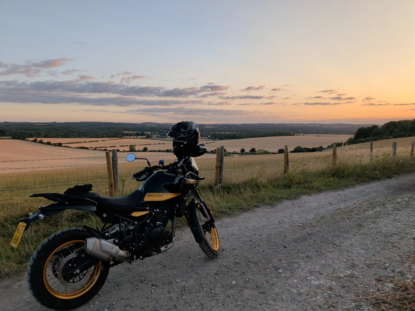
I'm Dan Bailey from Christchurch. After 12 years away from biking I bought a Himalayan 450 — and immediately went looking for byways to ride. I searched and searched the internet, and even when I did track a few down, actually navigating to them was a pain.

So Find Green Lanes was born. Now I can pick a byway, hit Navigate, and I'm taken straight to it in Google Maps. From there it grew into something more social — interactions between users, photos, messaging and much more.

It's early days, but it's coming together nicely.

The map's waiting.

Sign in with Google

Thanks for your support.