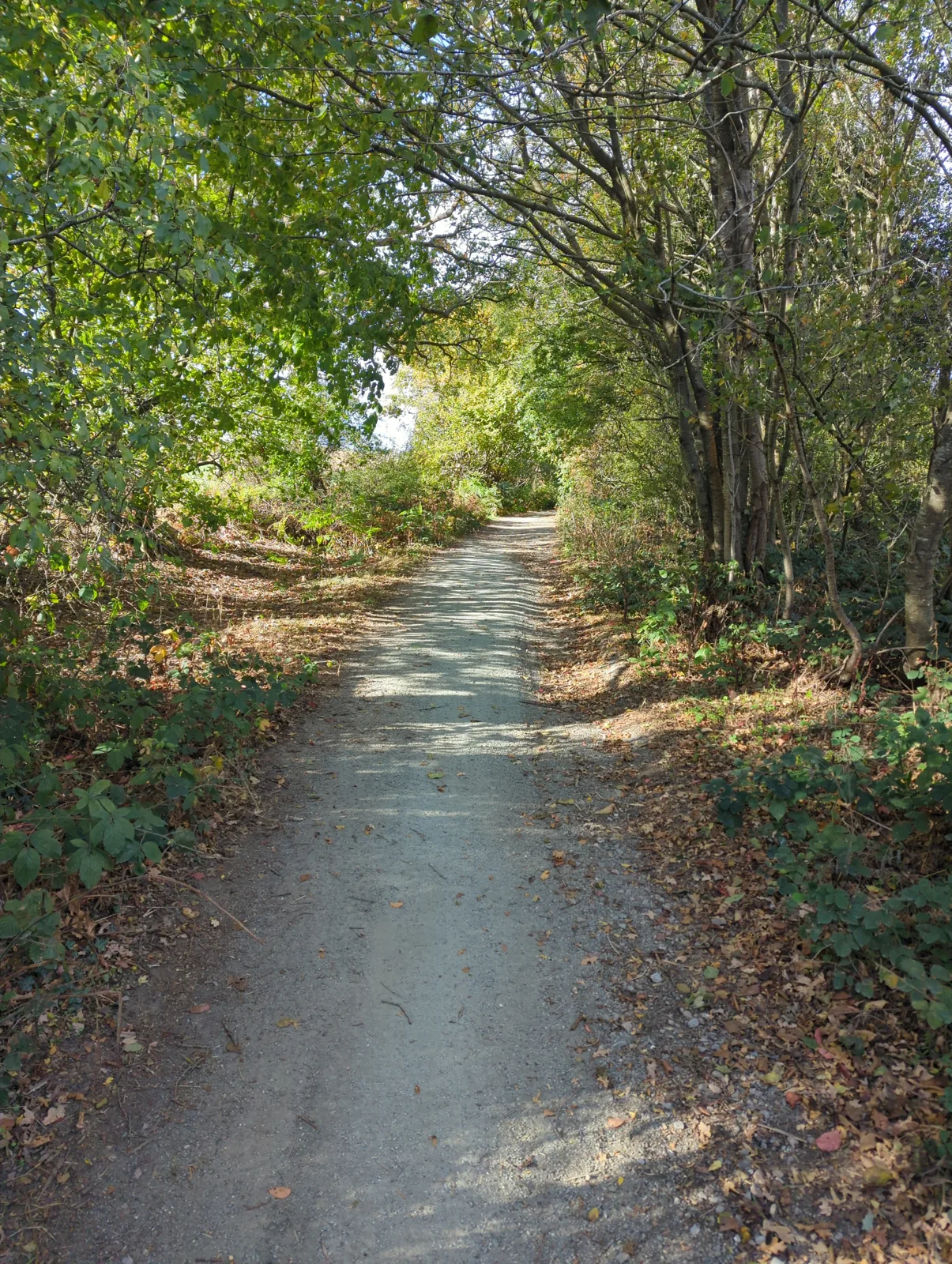
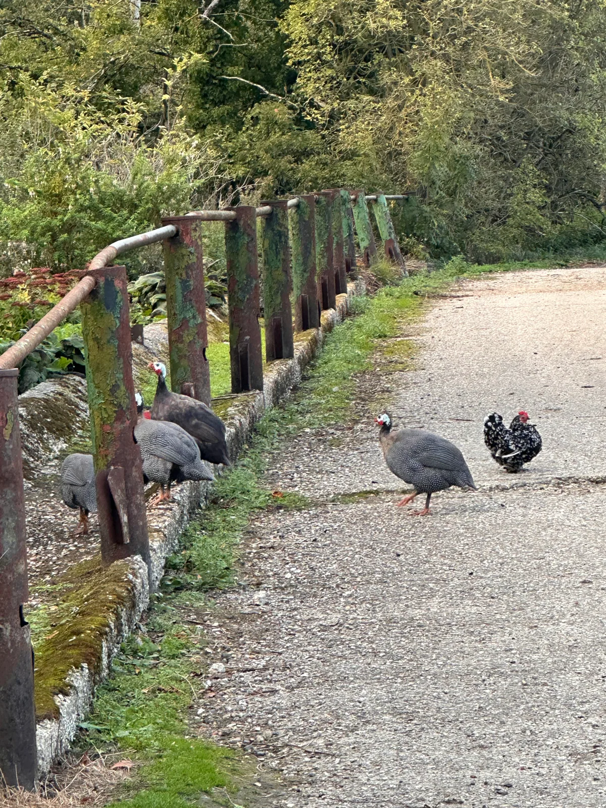
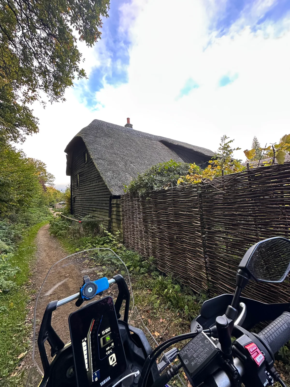
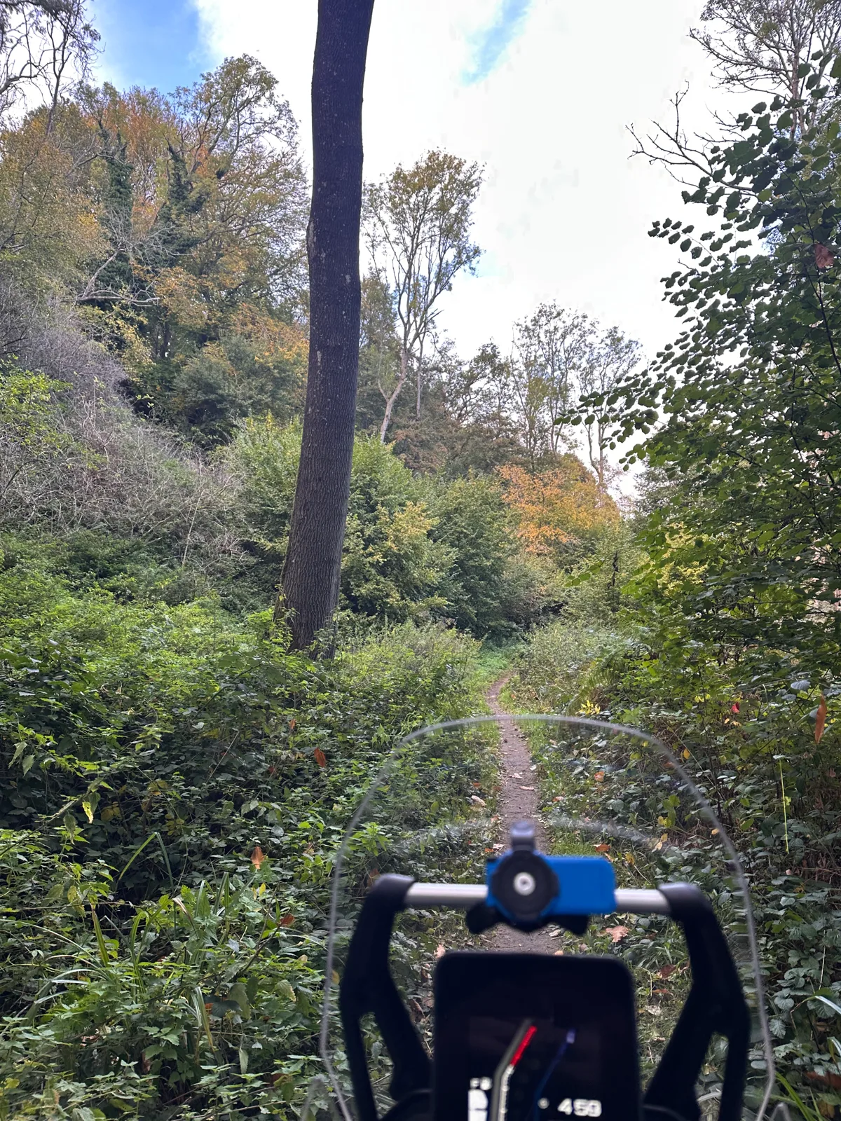
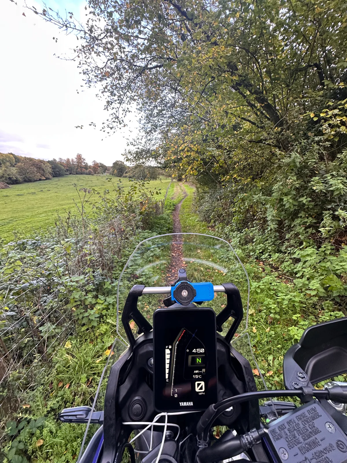
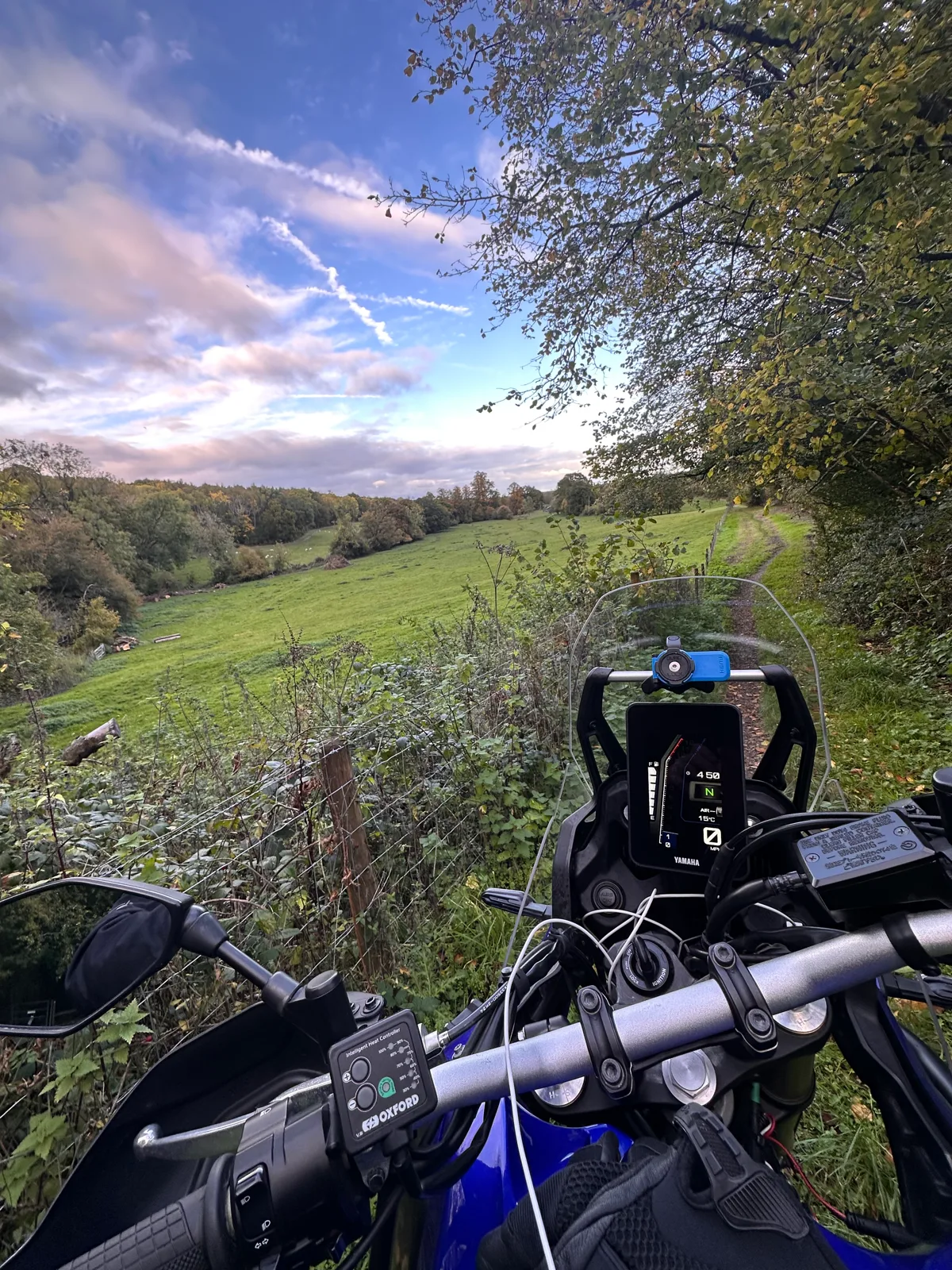
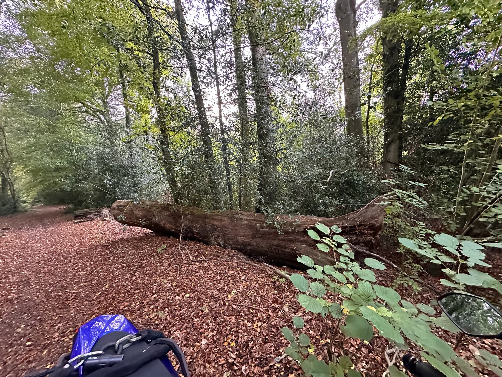
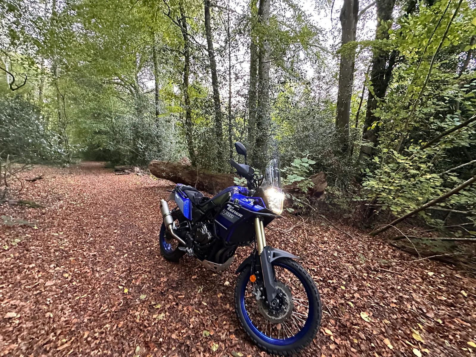
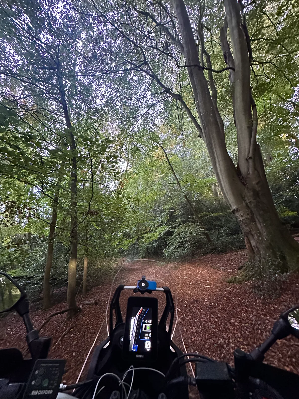
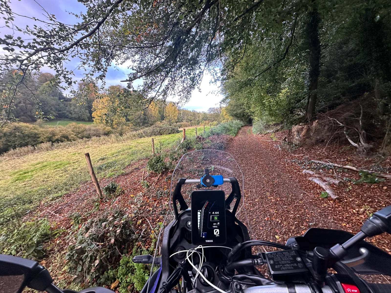
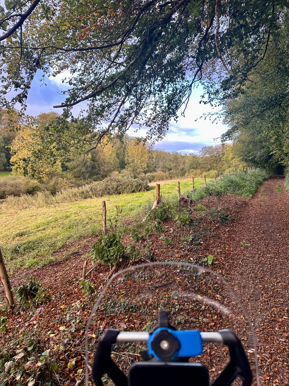
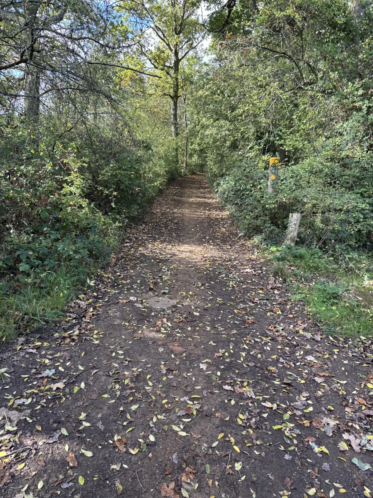
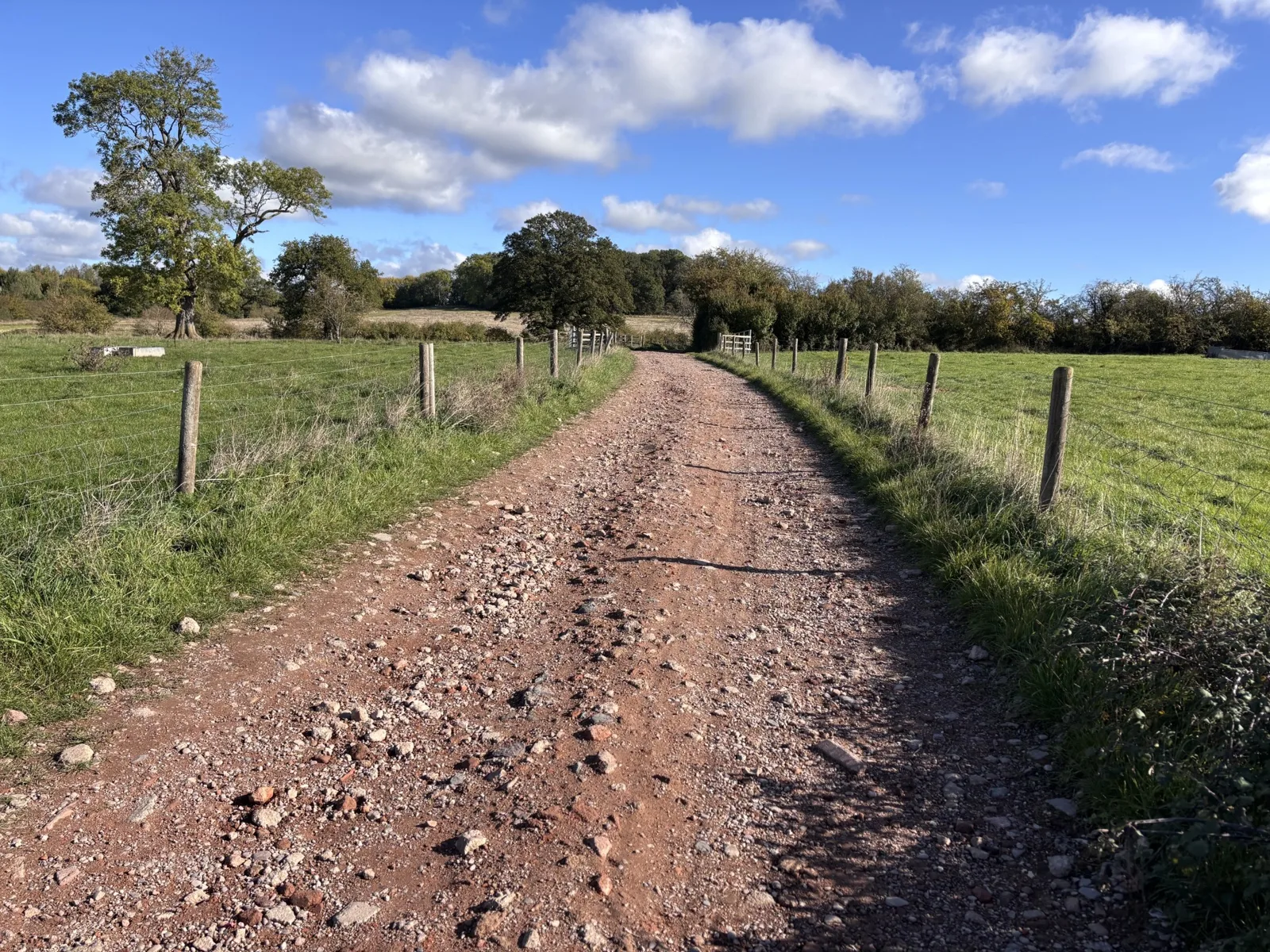
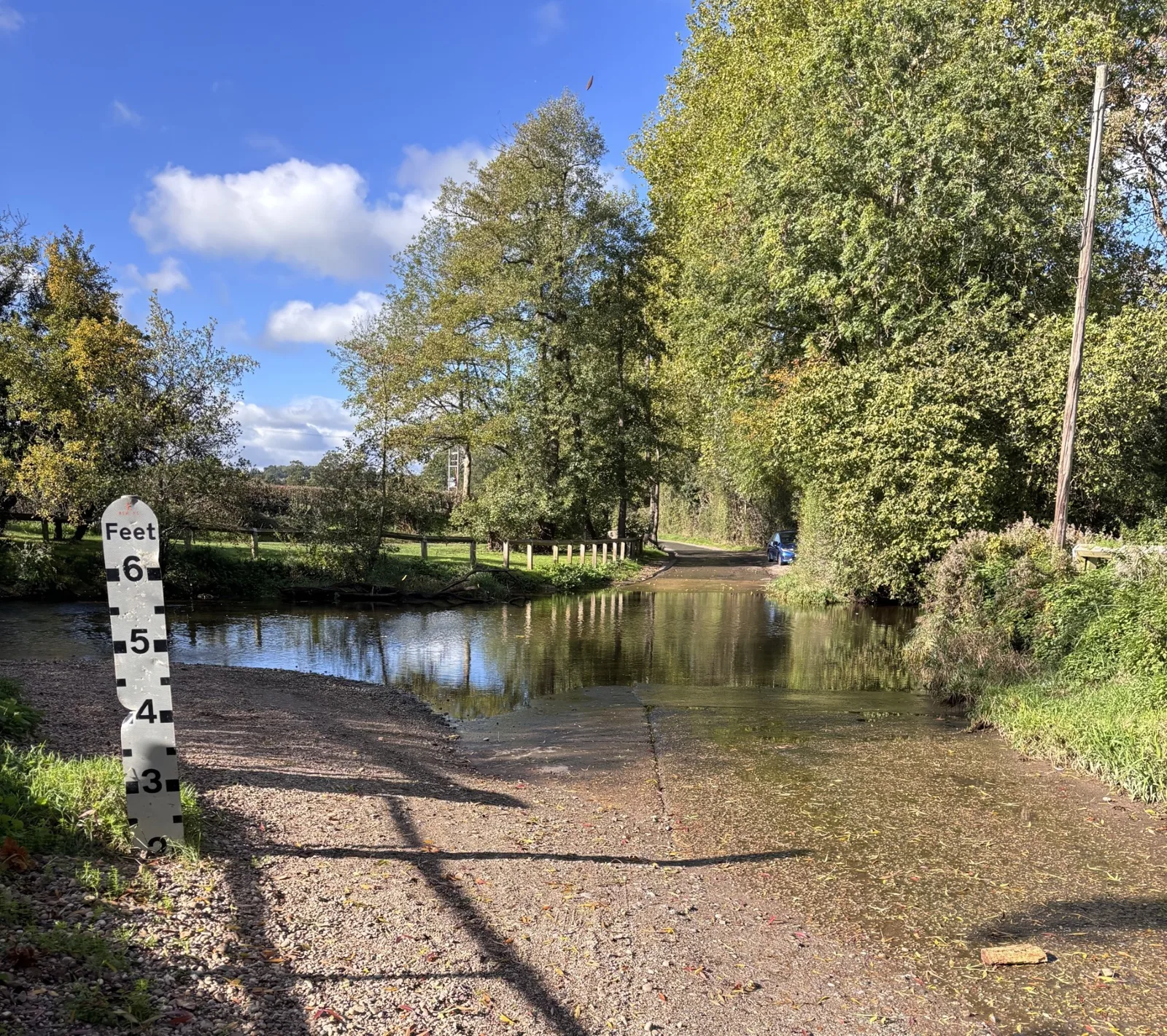
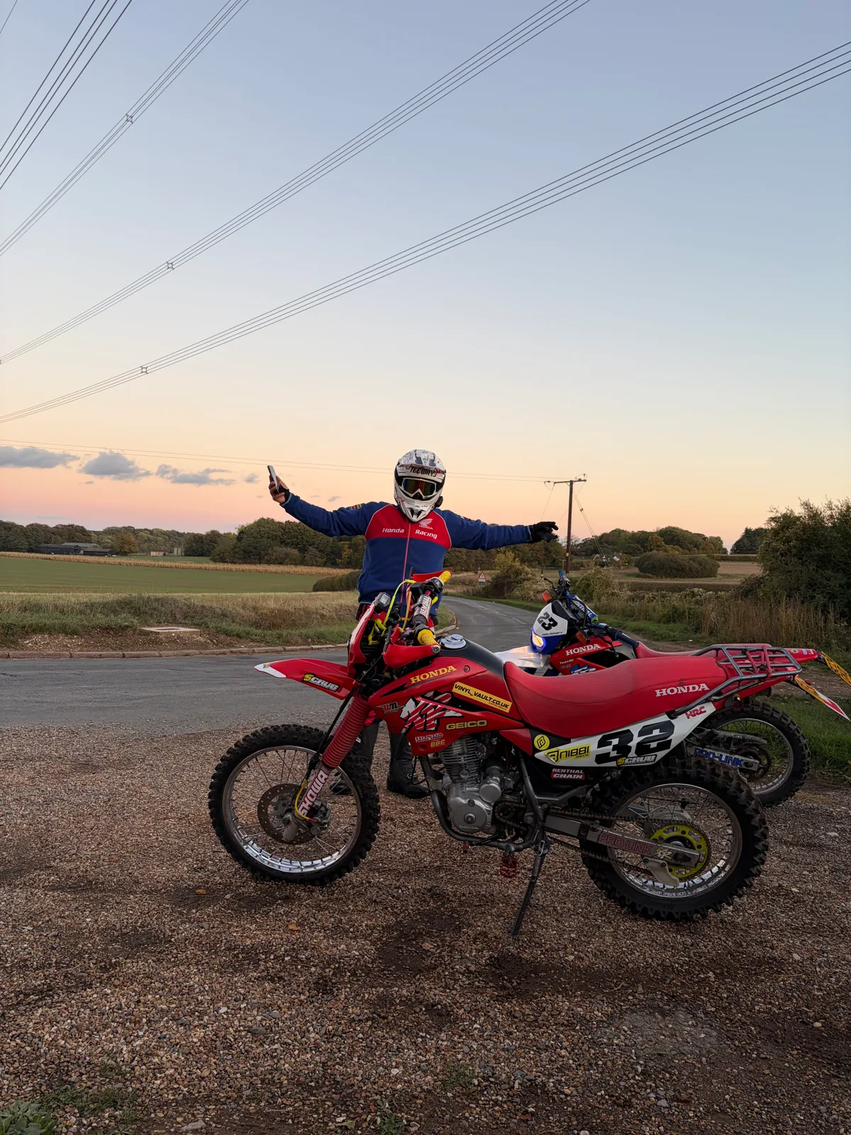
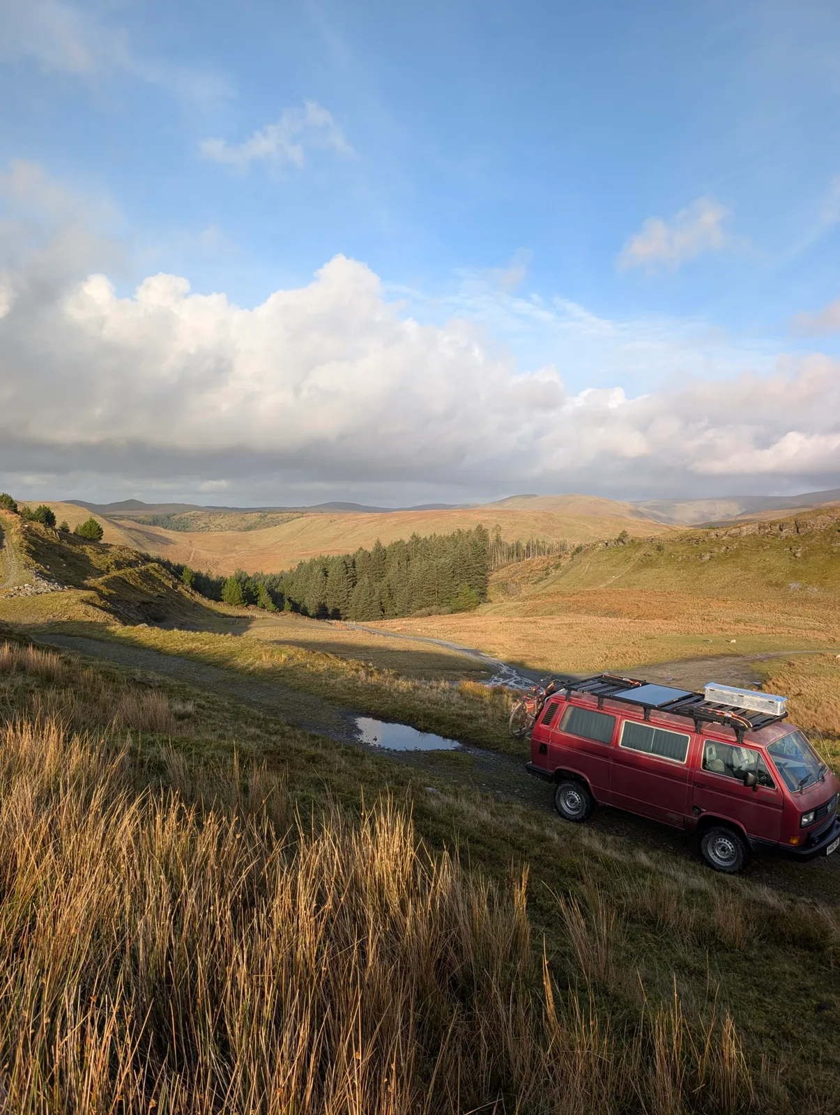
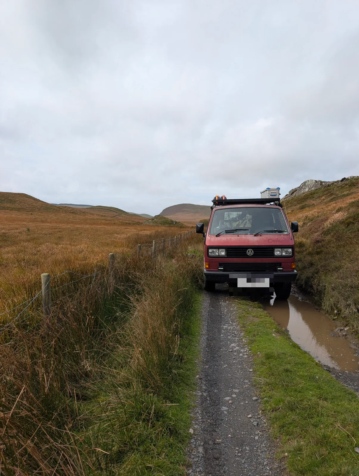
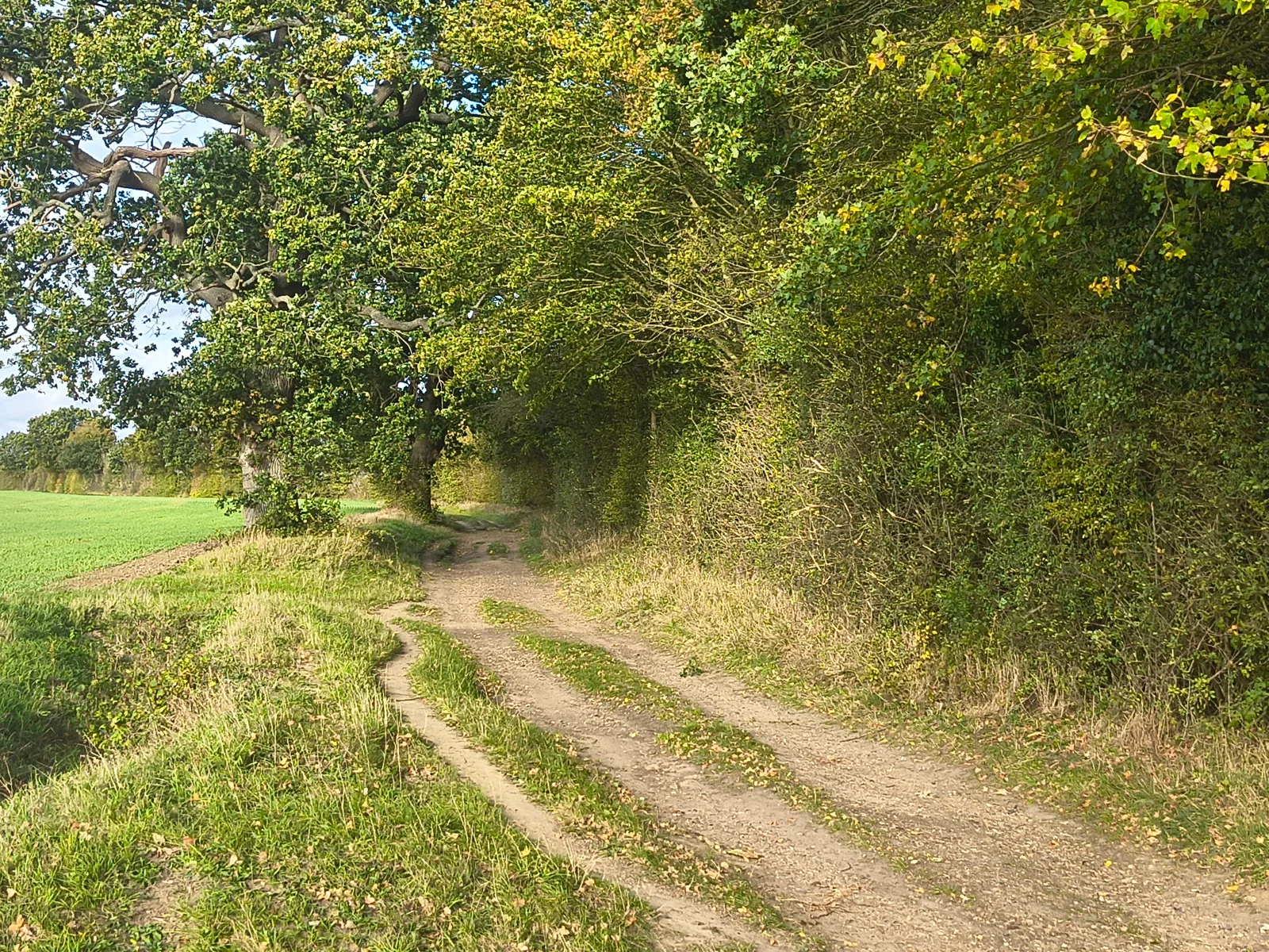
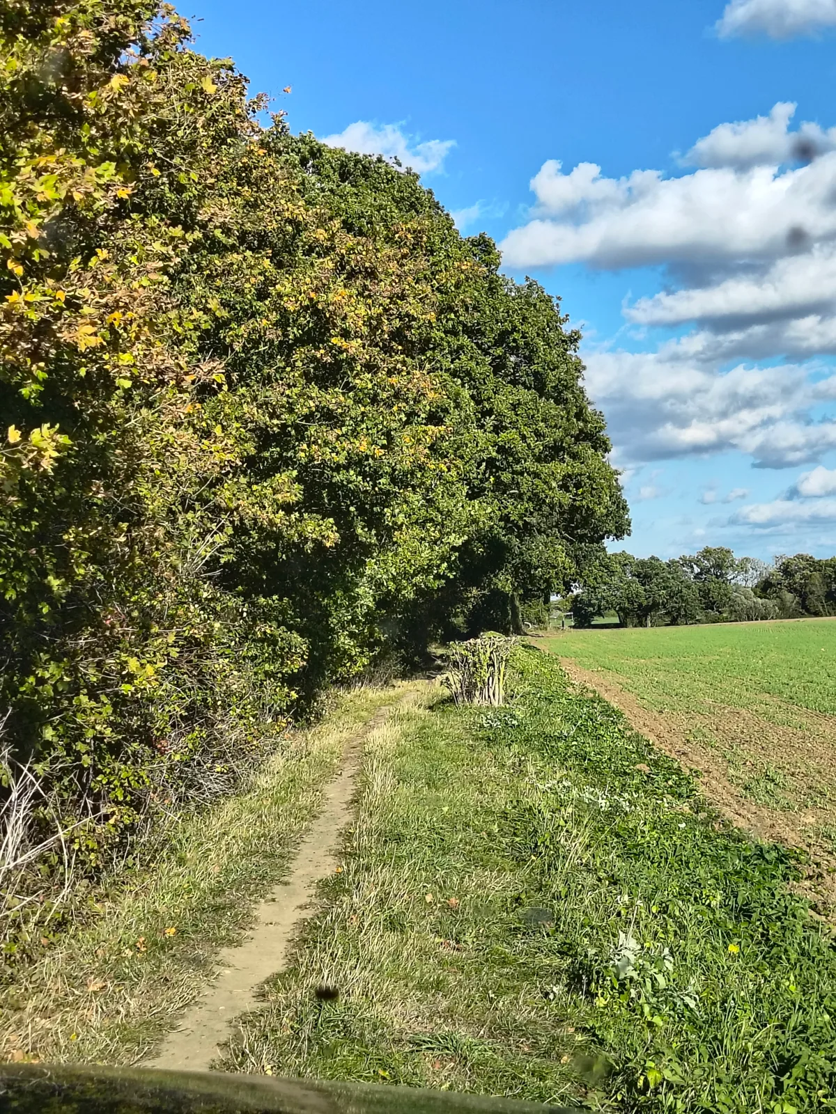
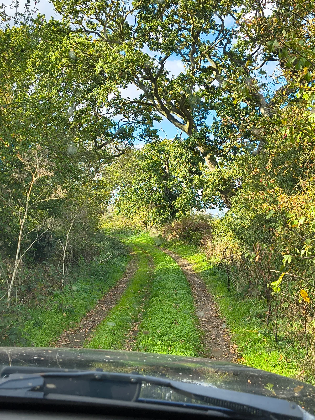
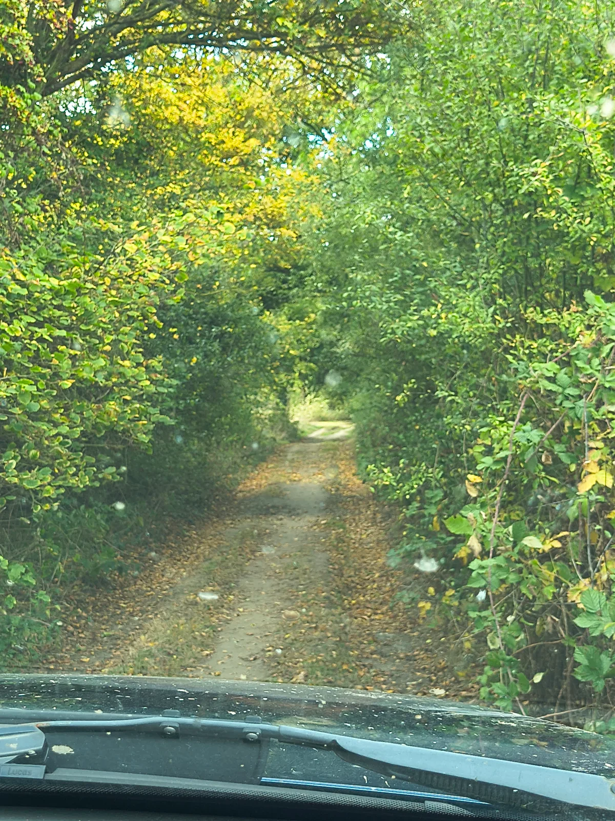
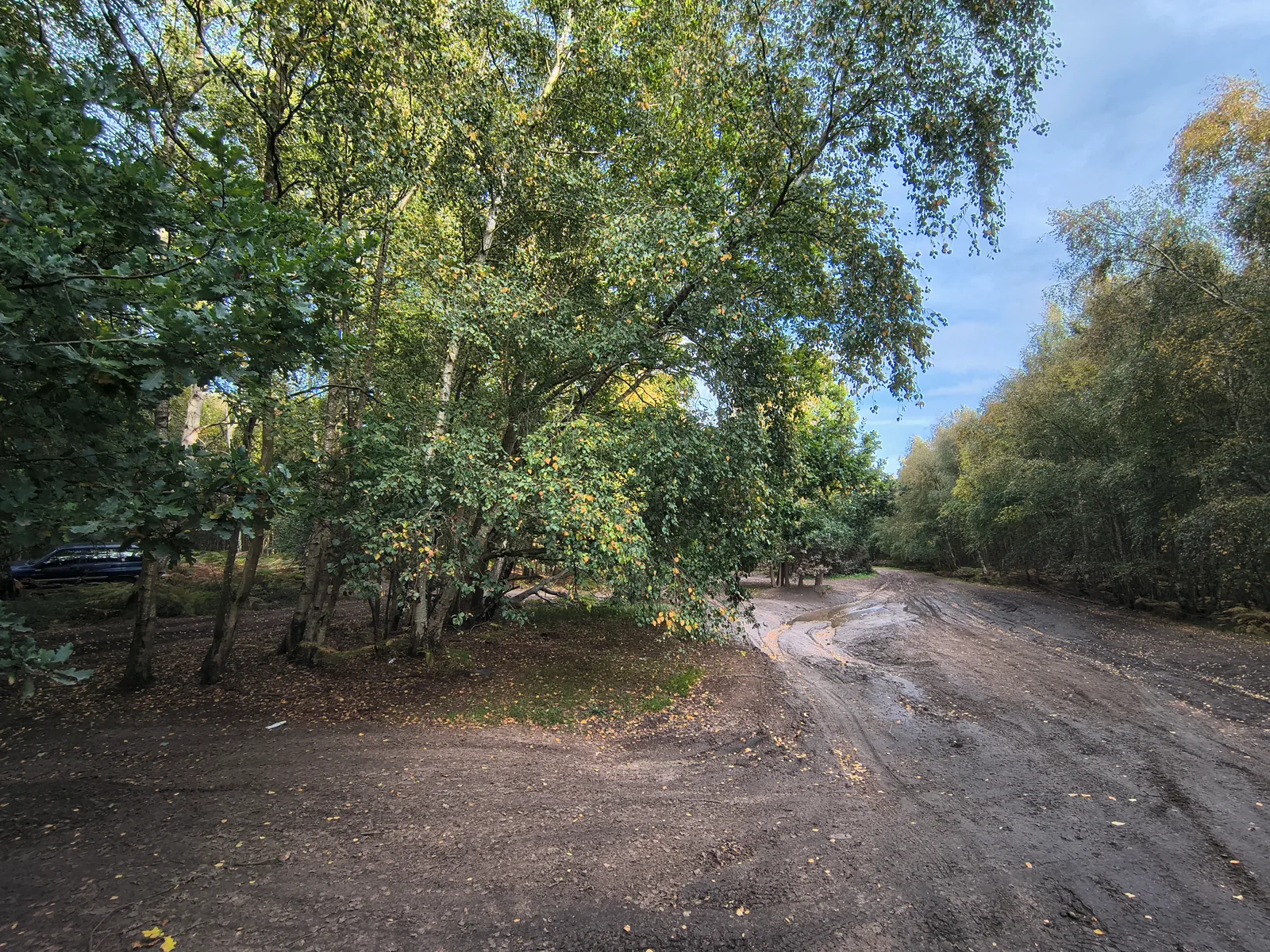
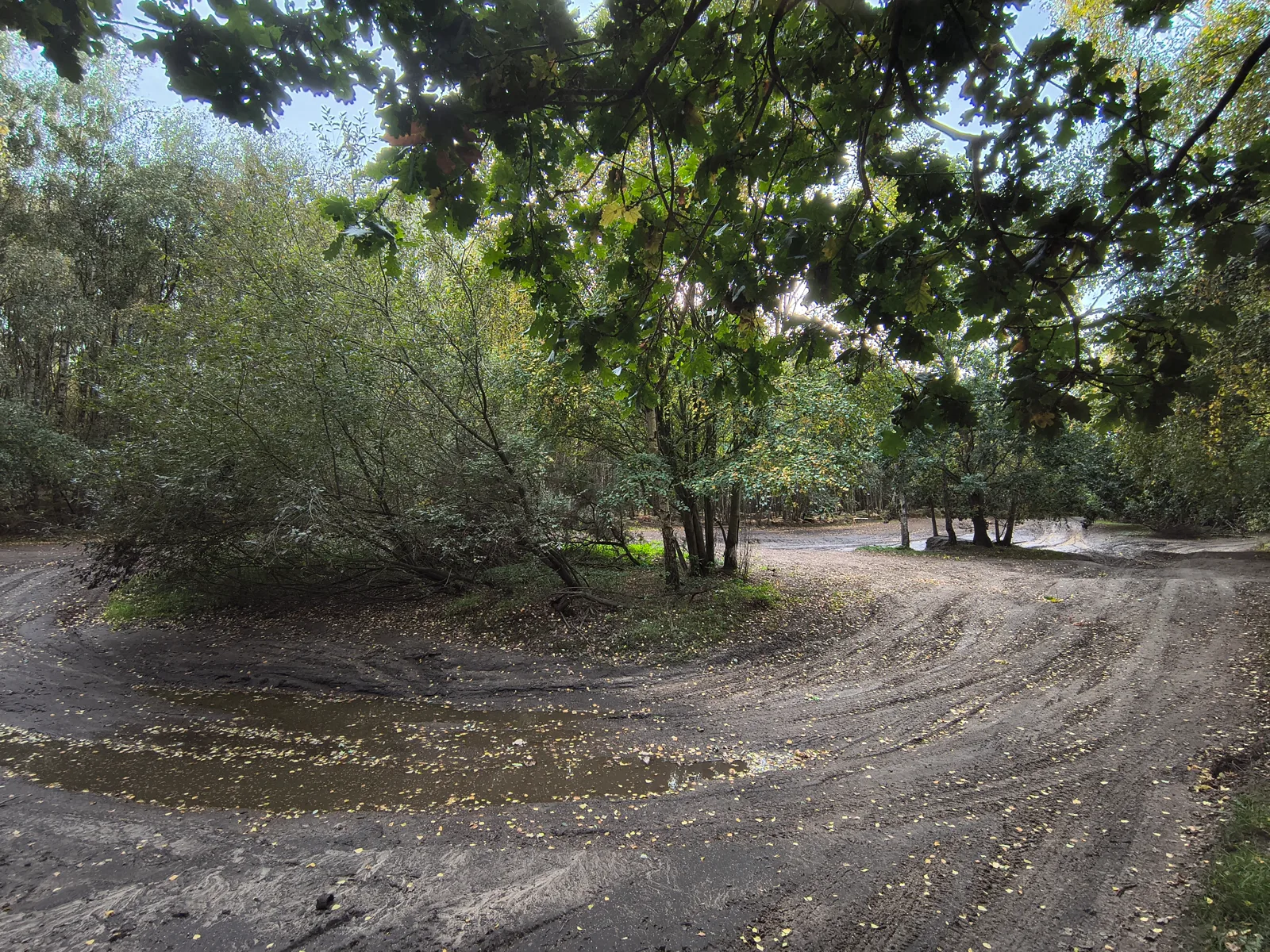
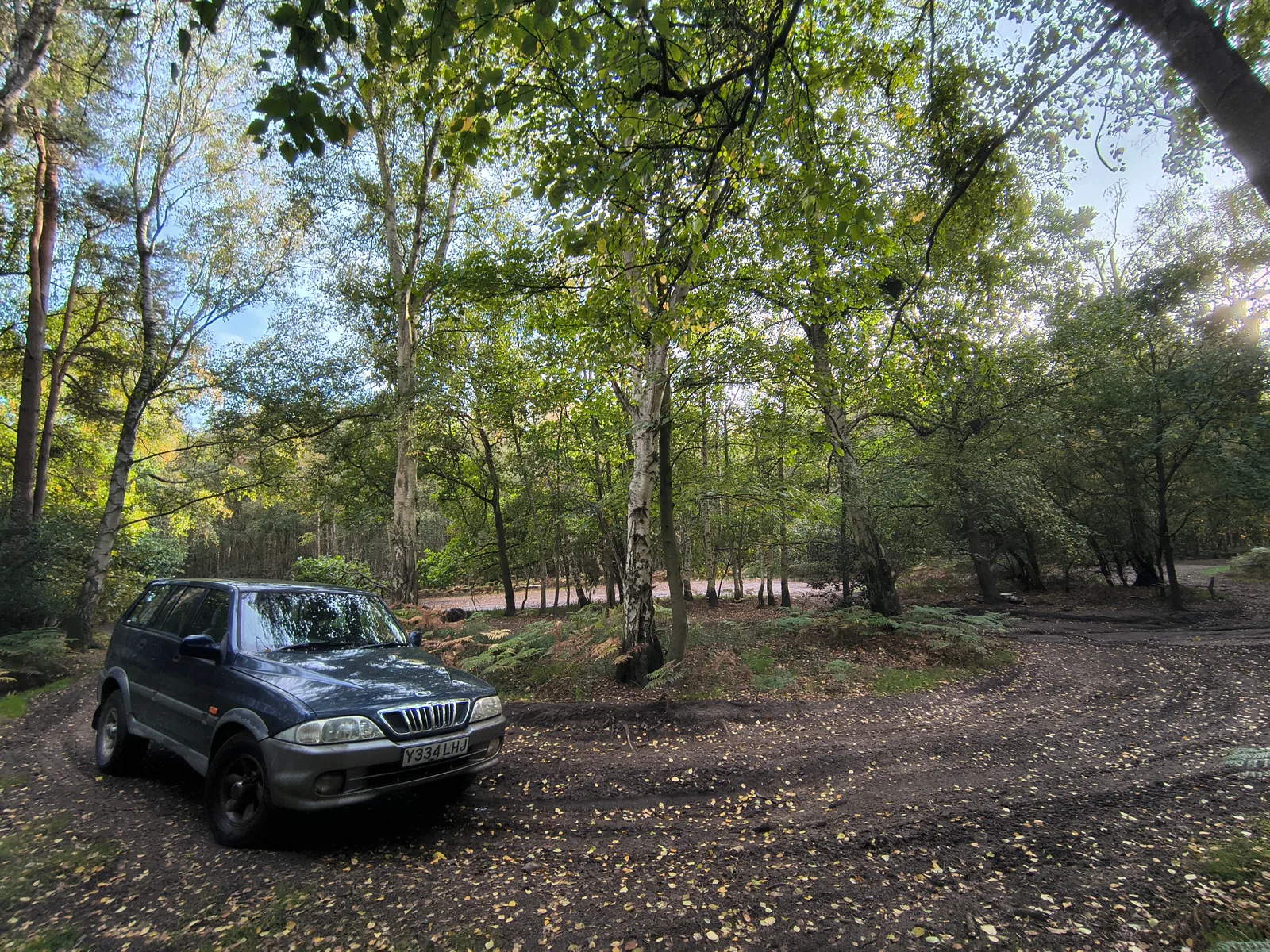
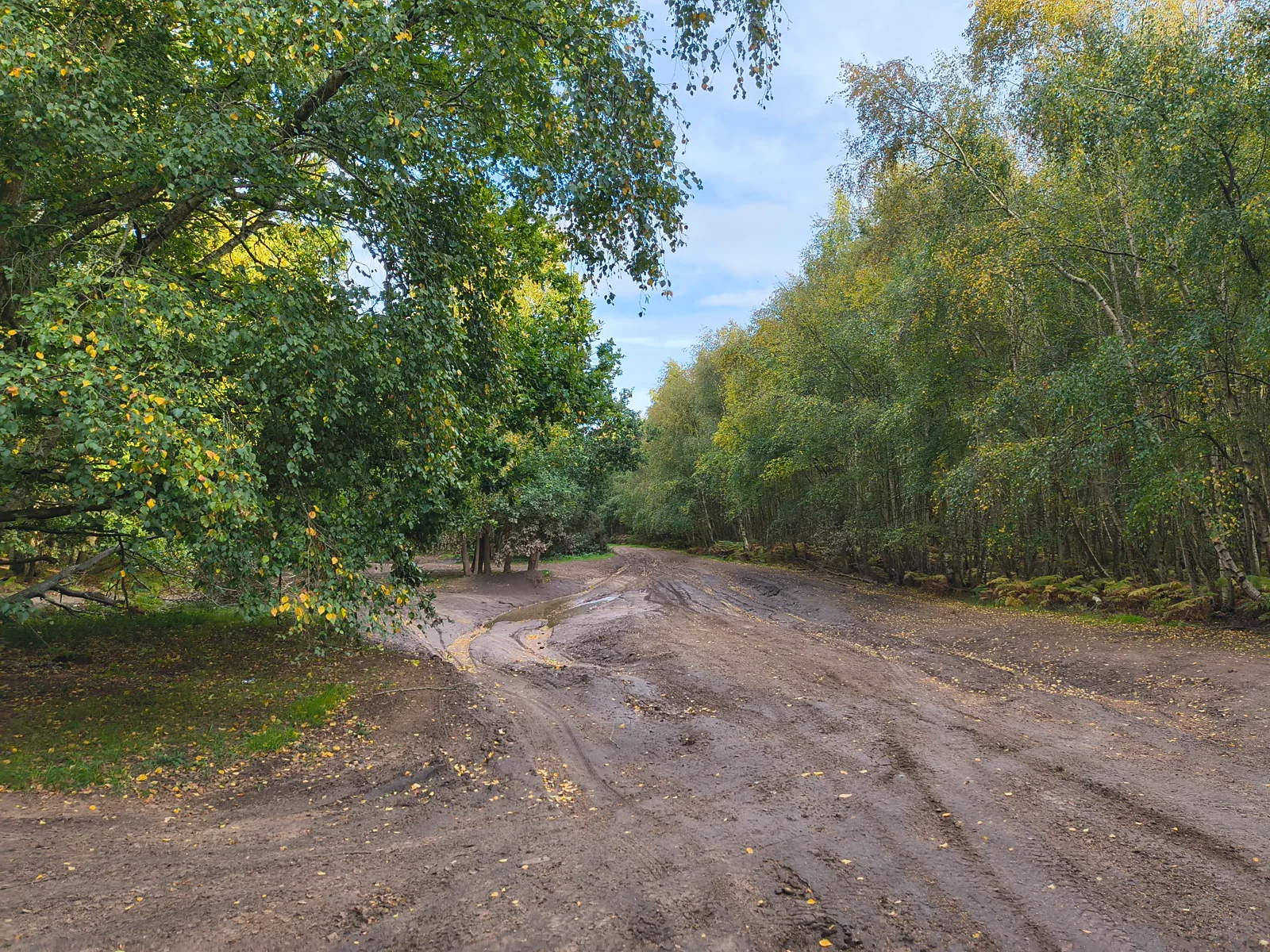
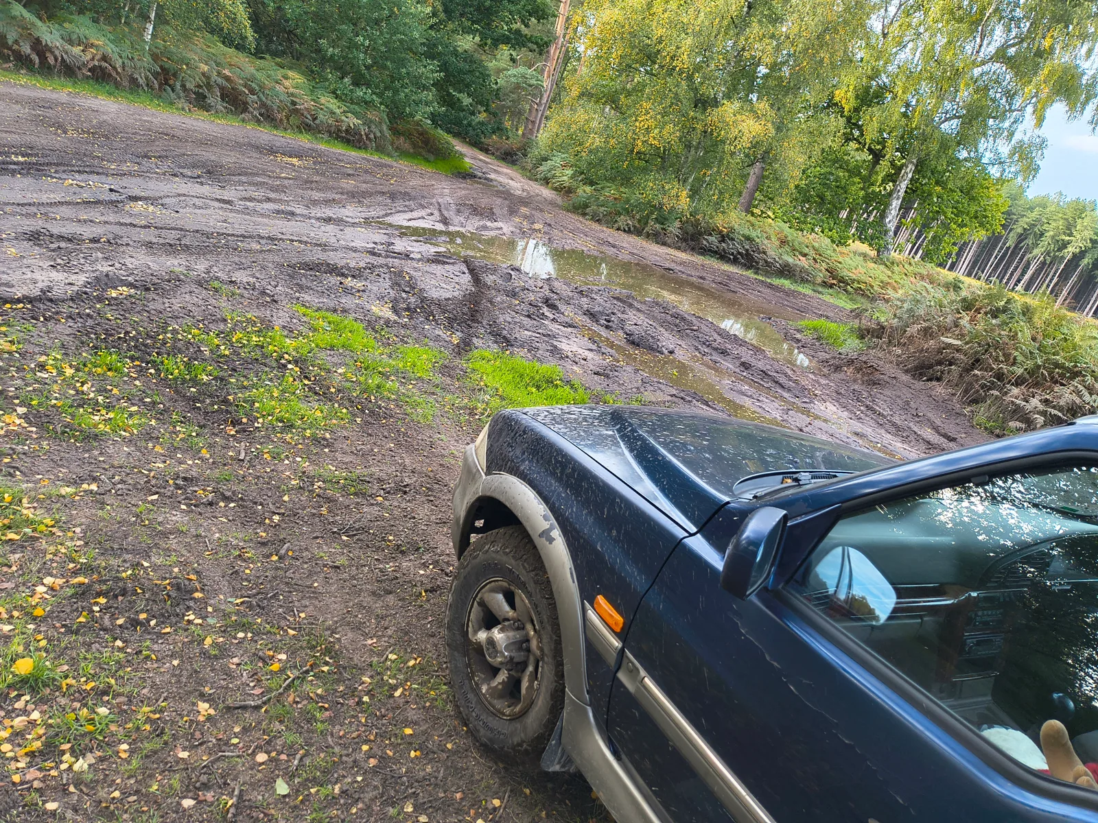
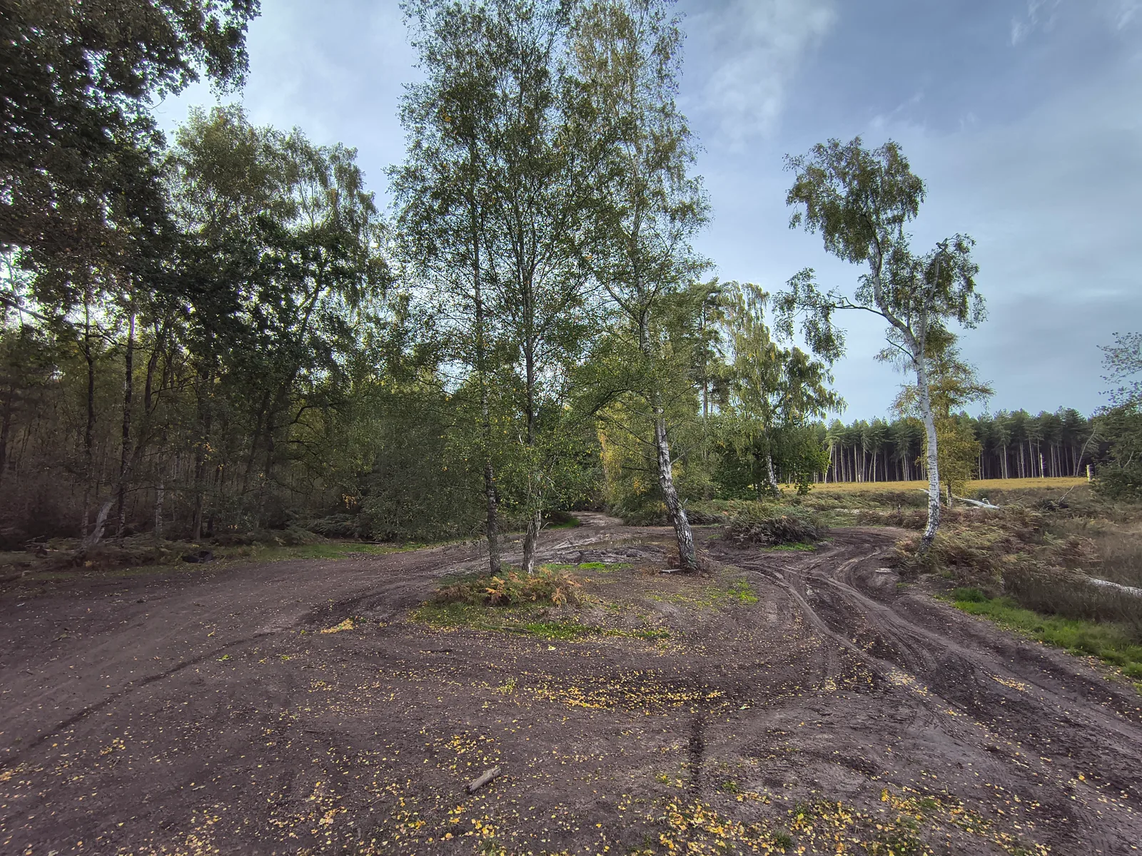
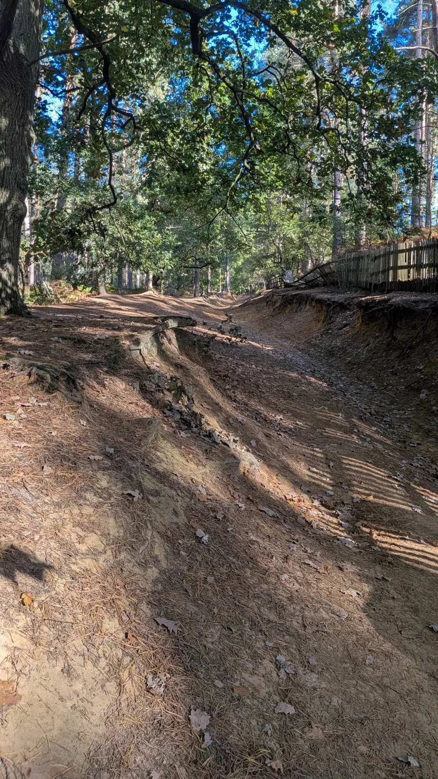
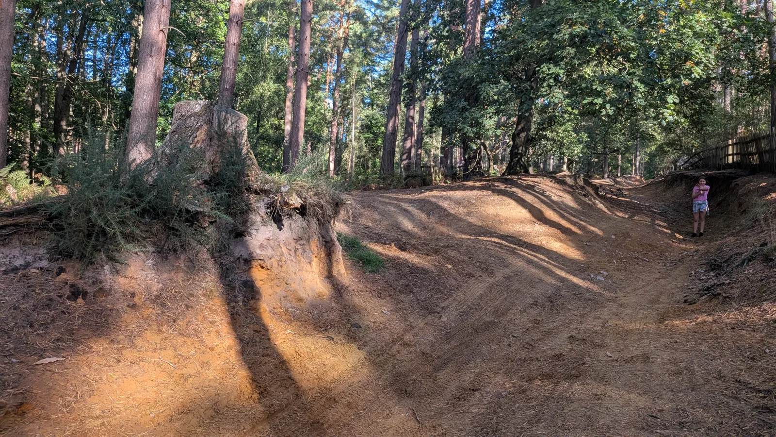
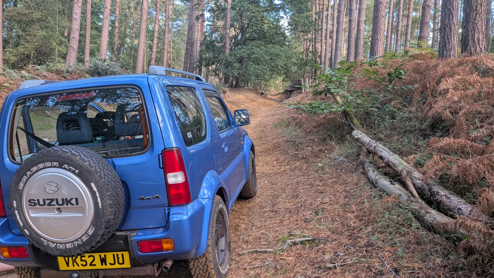
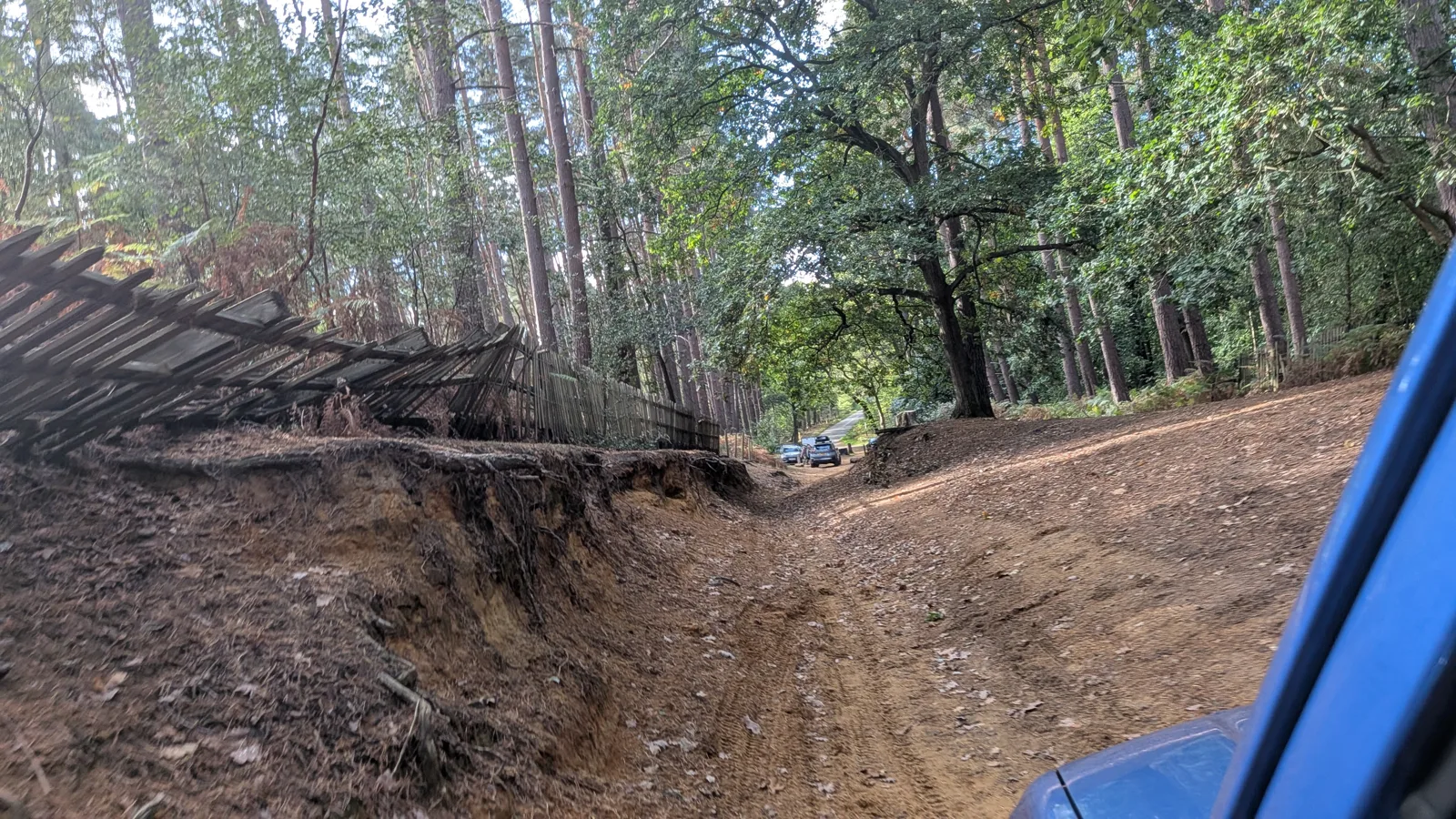
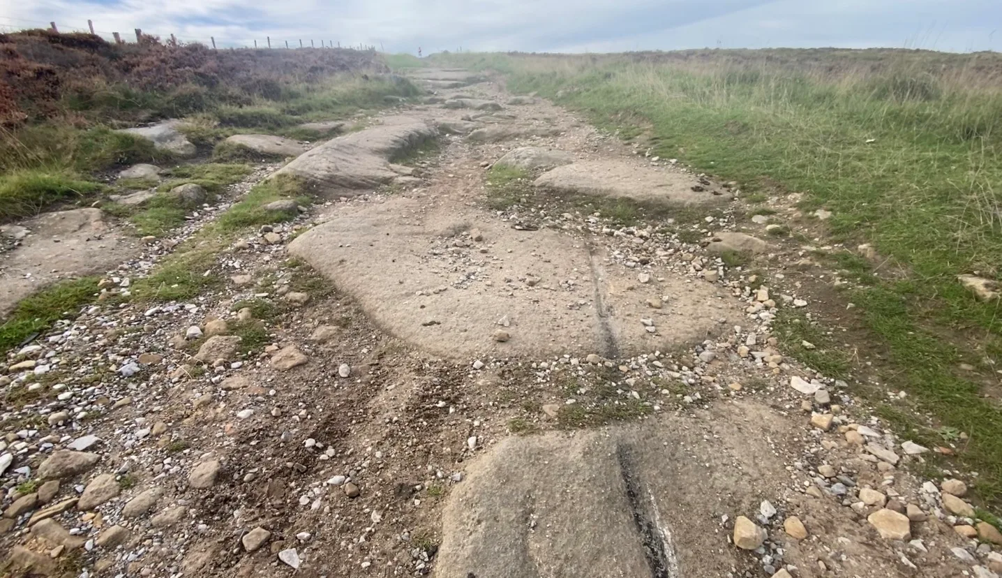
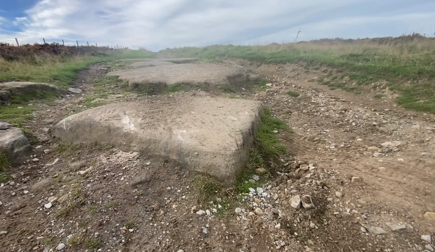
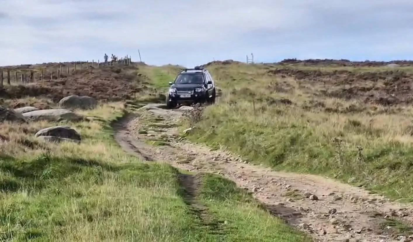
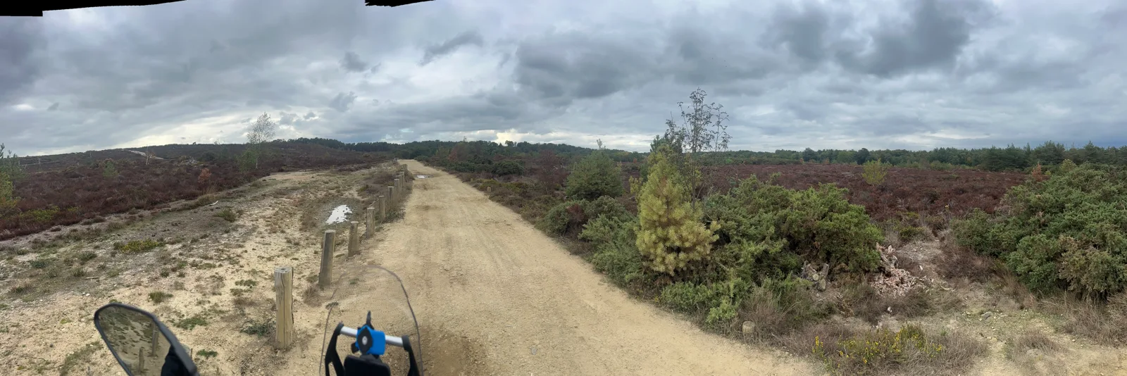
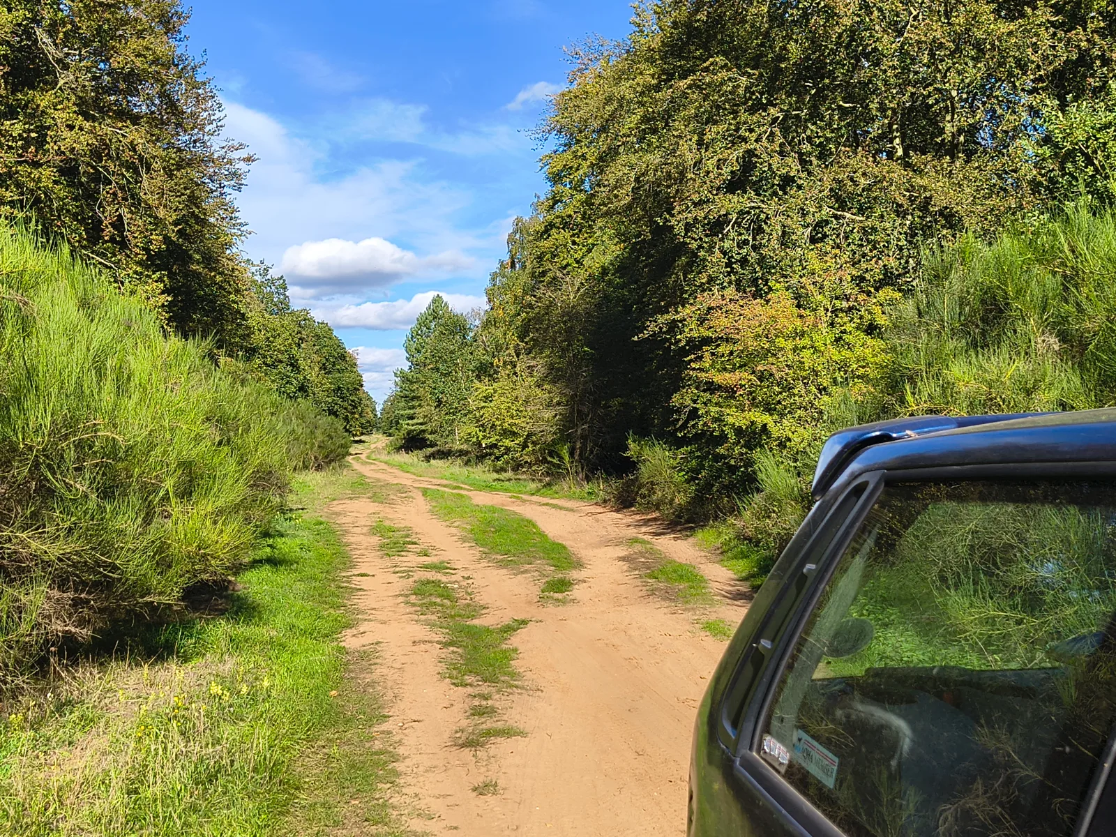
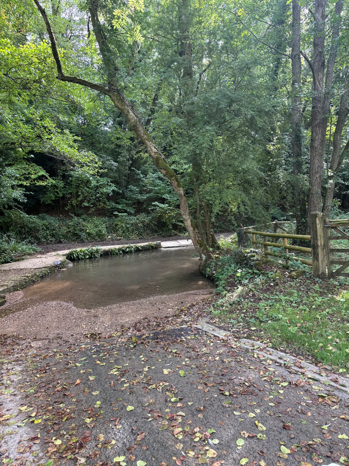
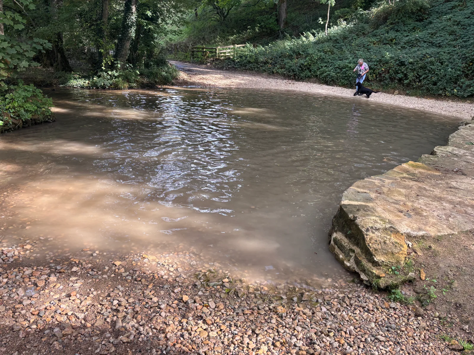
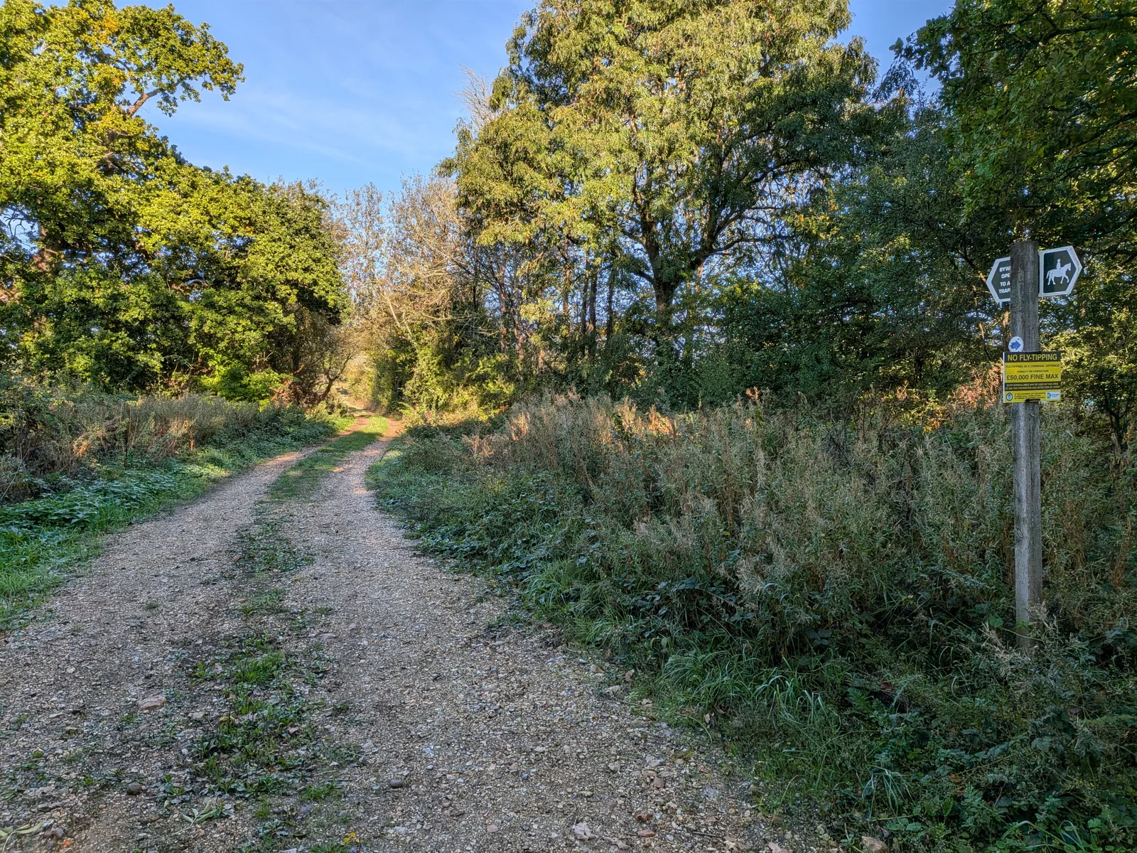
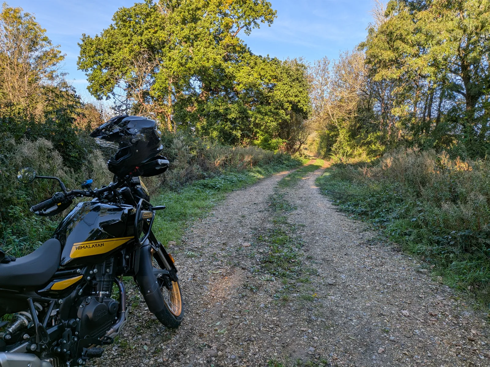
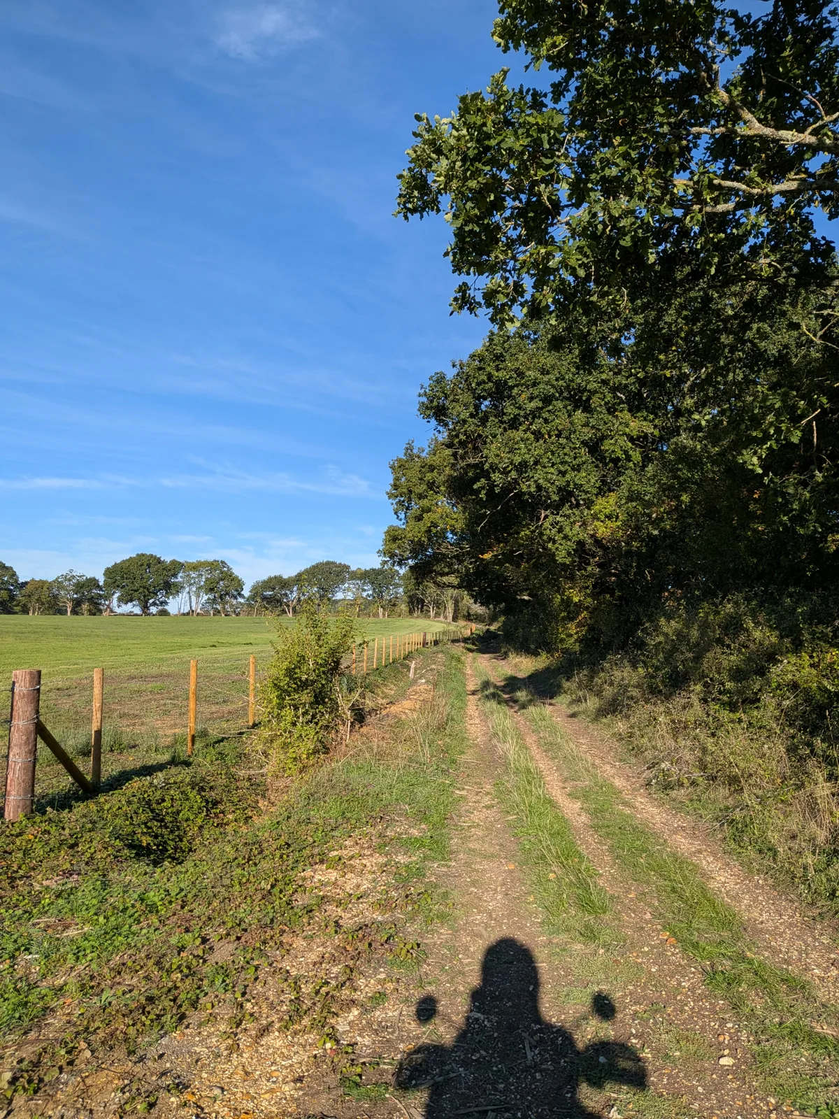
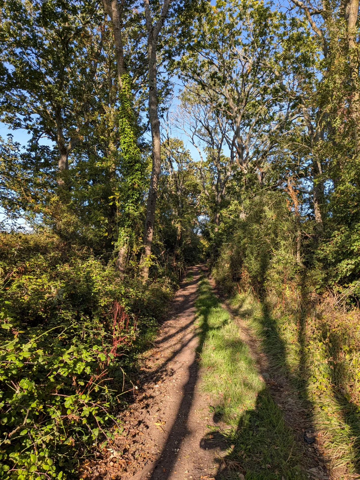
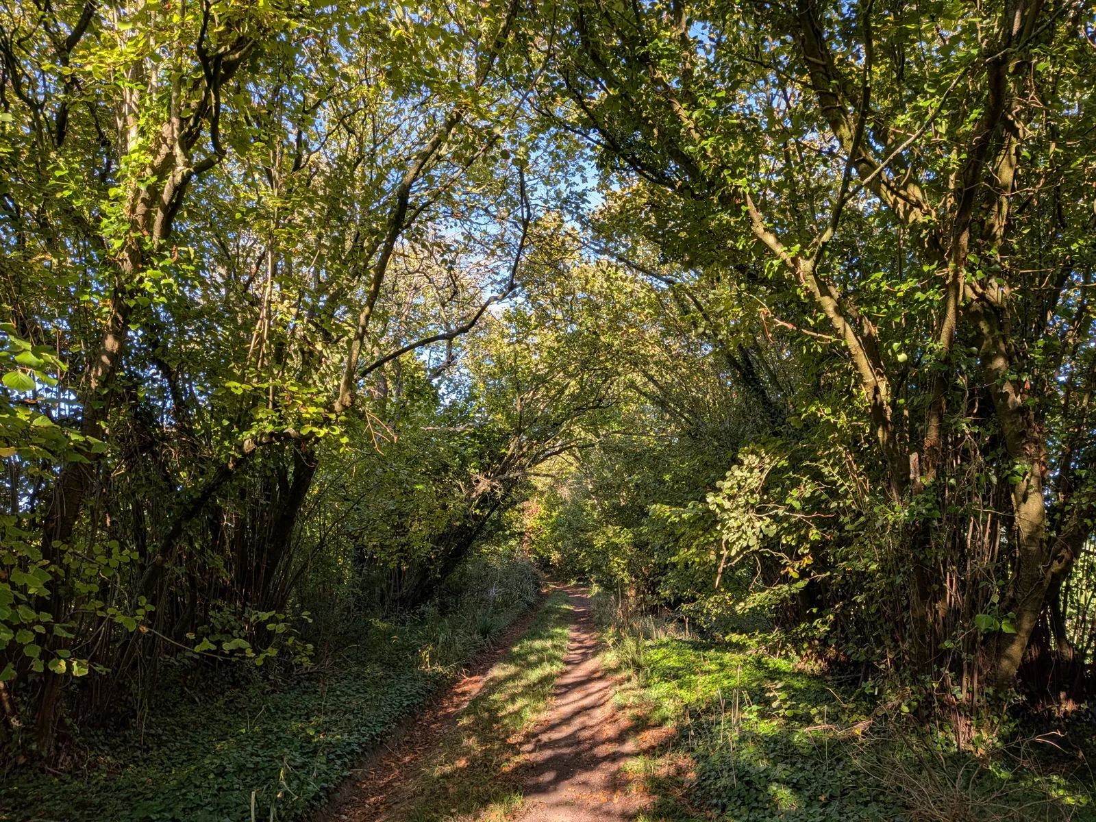
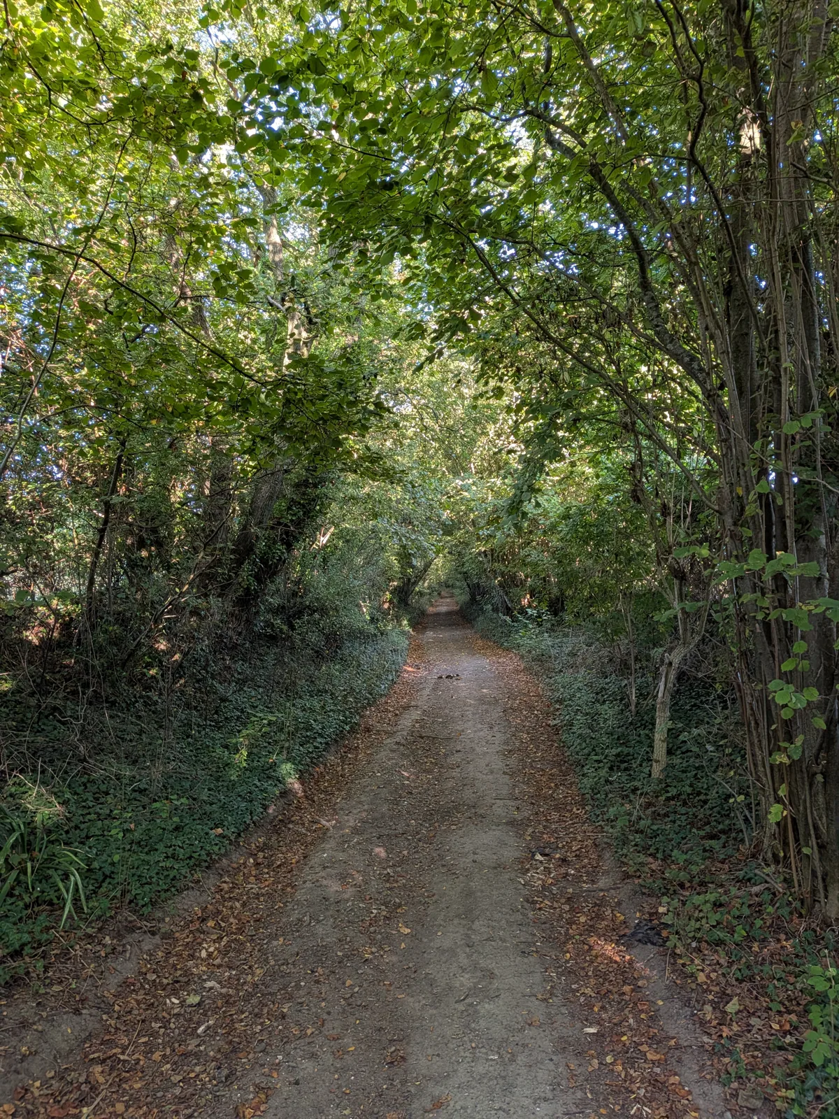
The unsealed, half-forgotten tracks the law still lets you travel — for 4×4 green-laners, adventure motorcyclists and trail riders. Explore the whole network, save the lanes you love, navigate to your chosen byway and much much more.
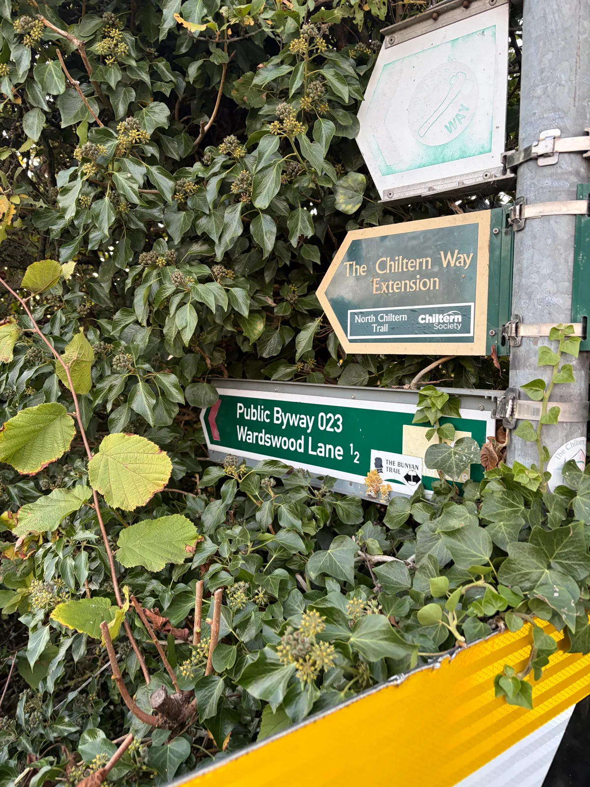
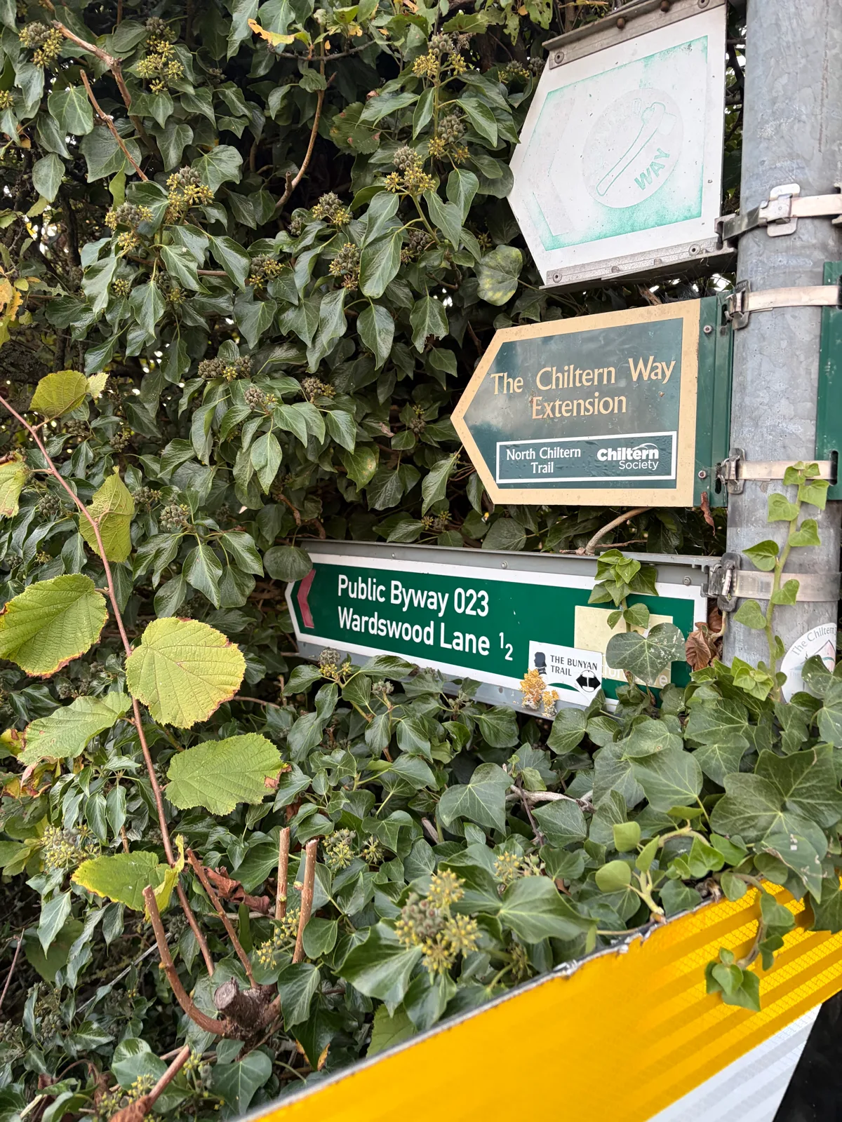
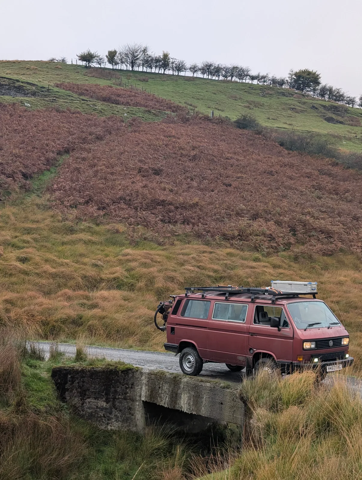
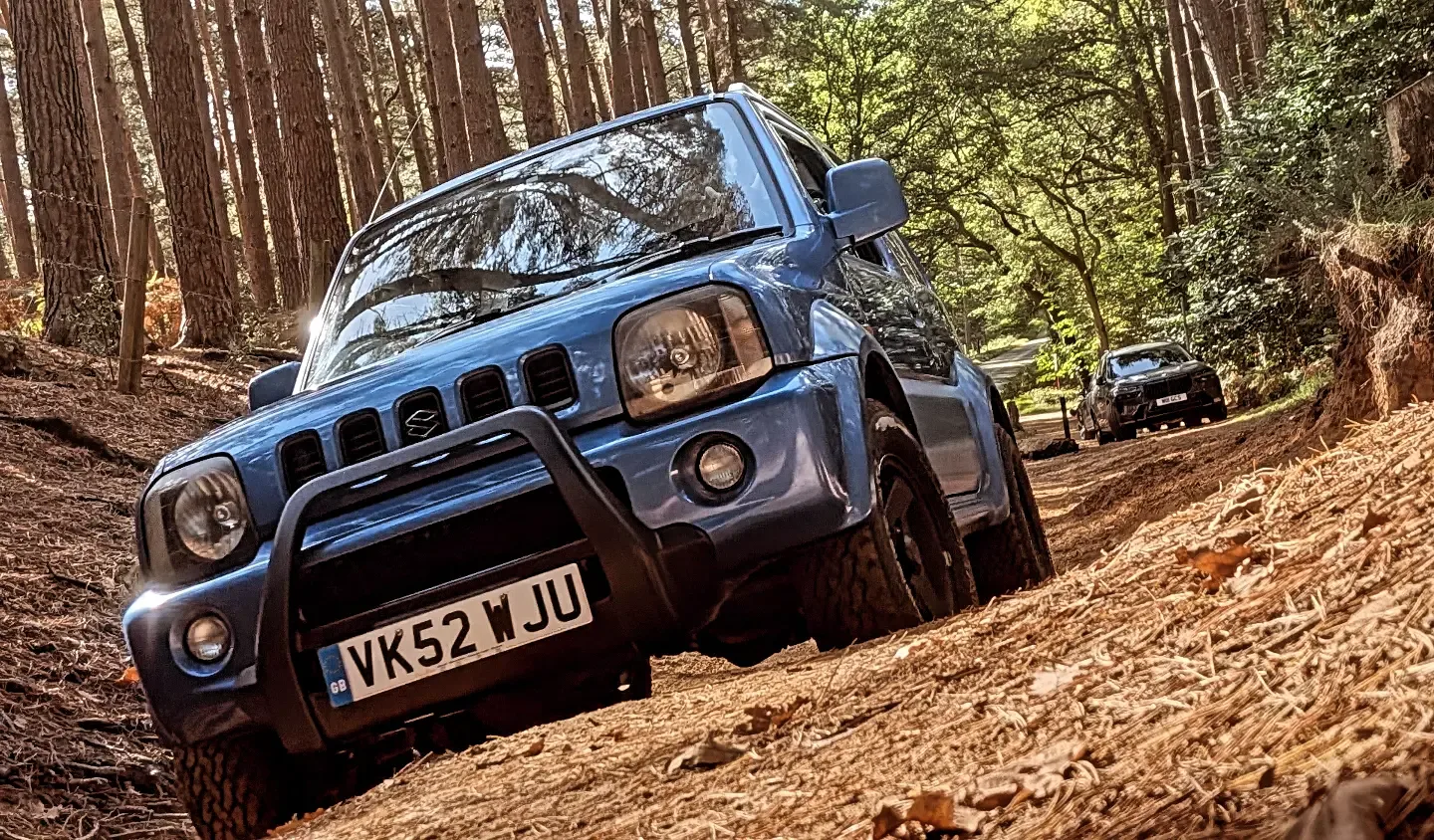
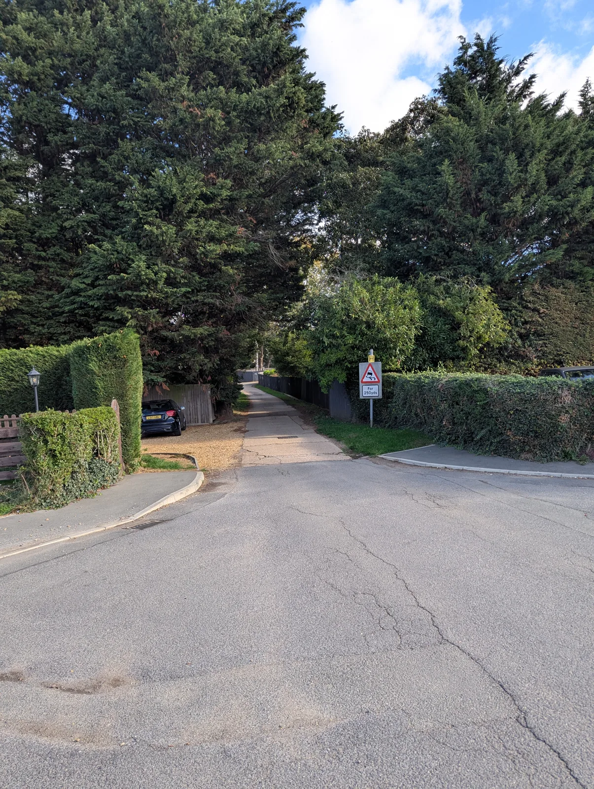
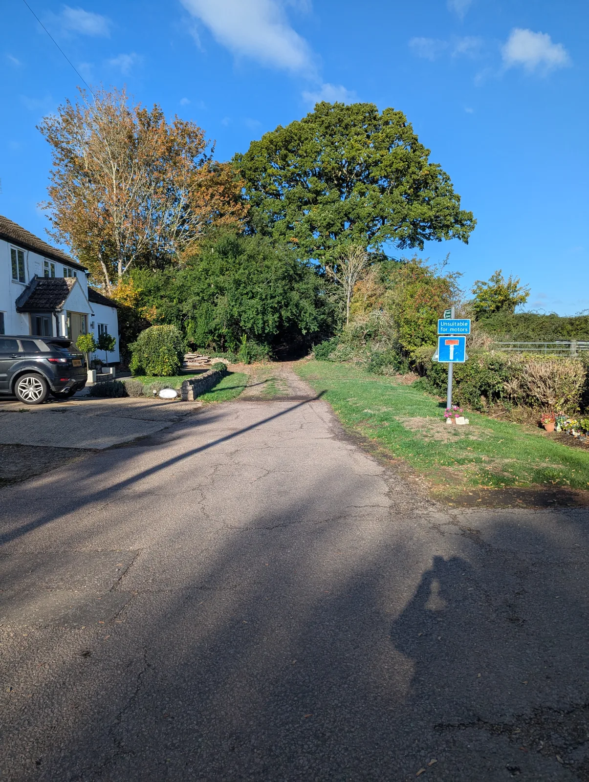
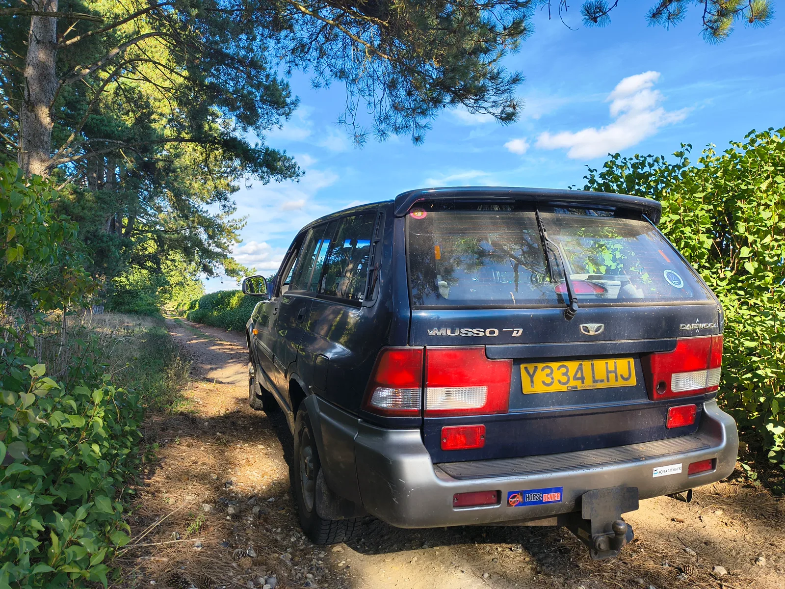
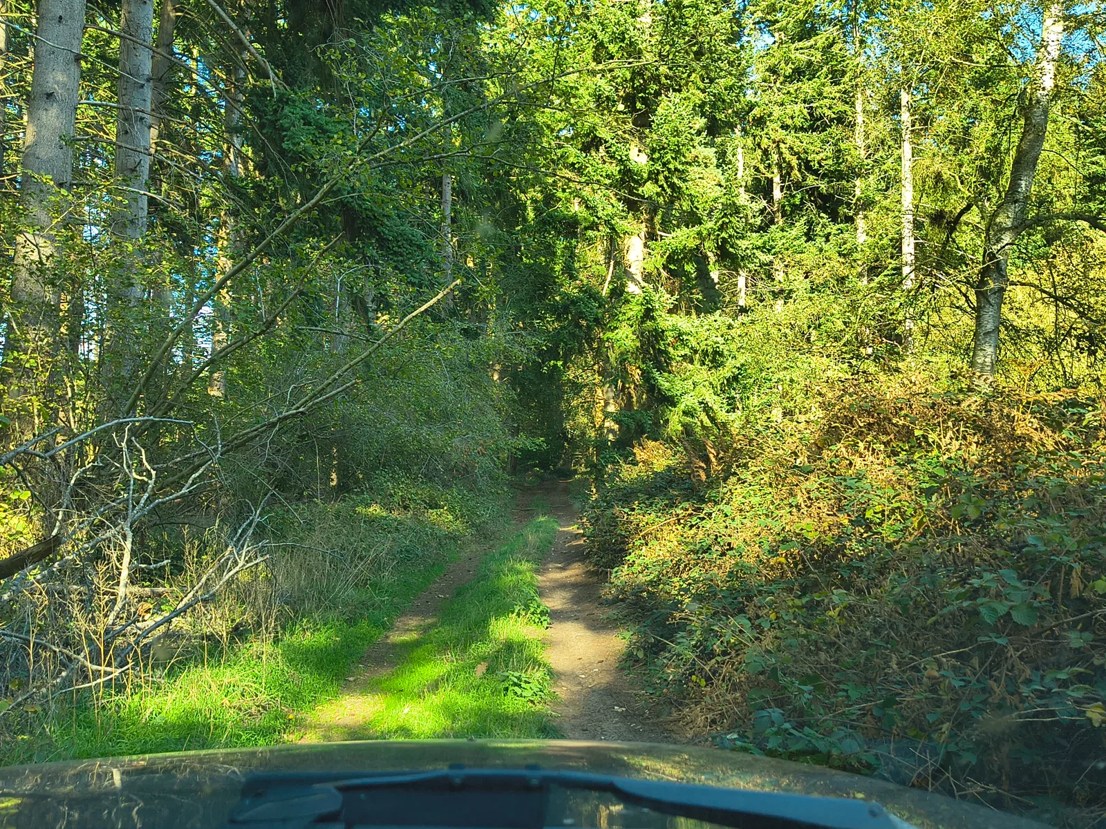
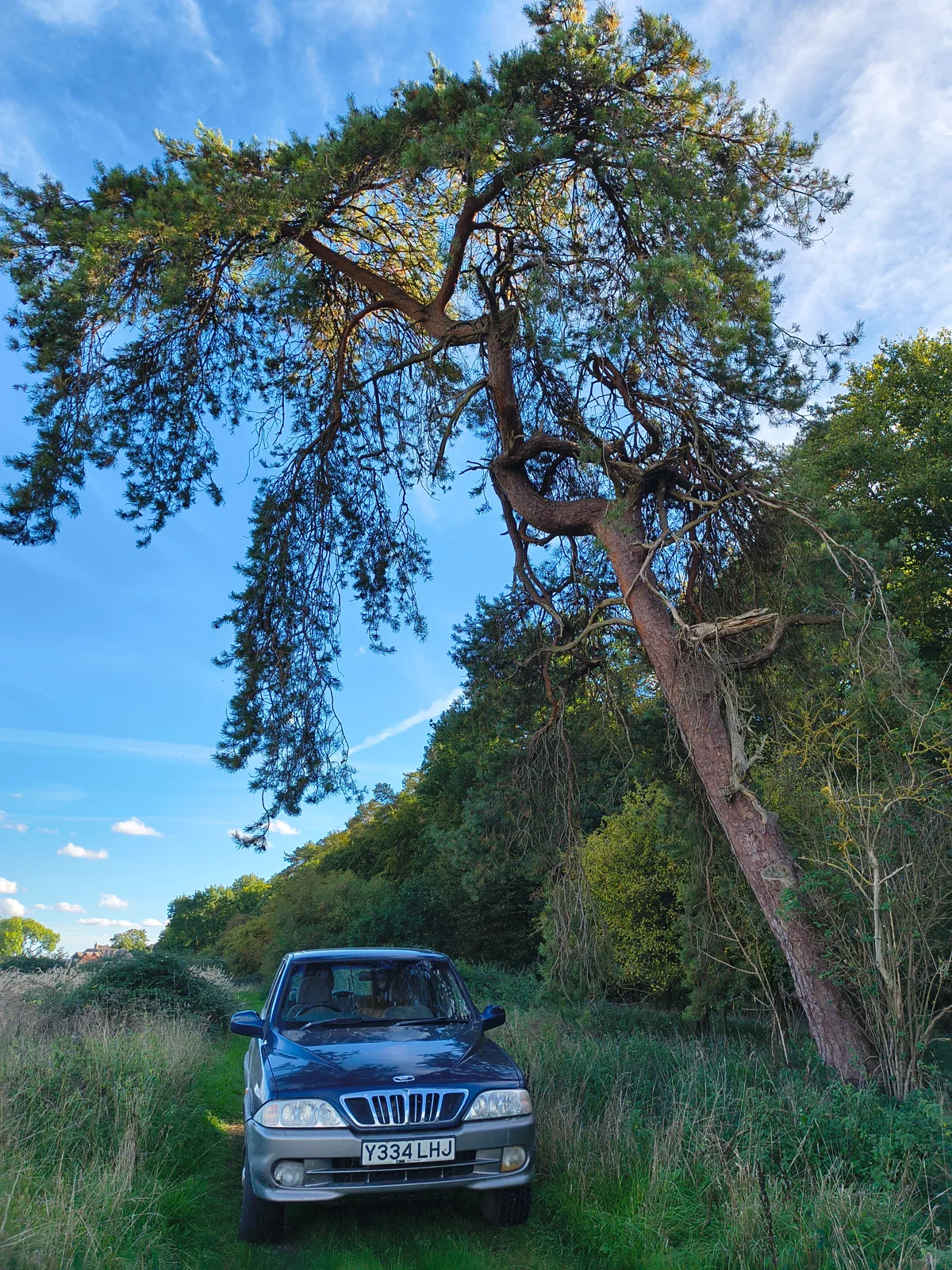
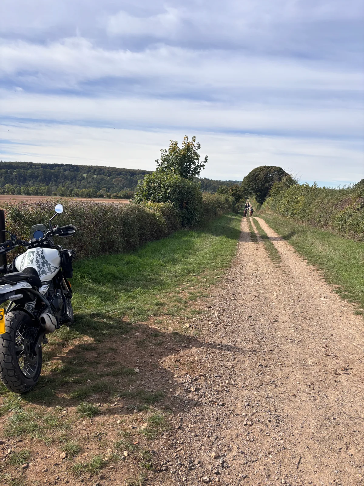
Open to everything — 4×4s and motorcycles included.
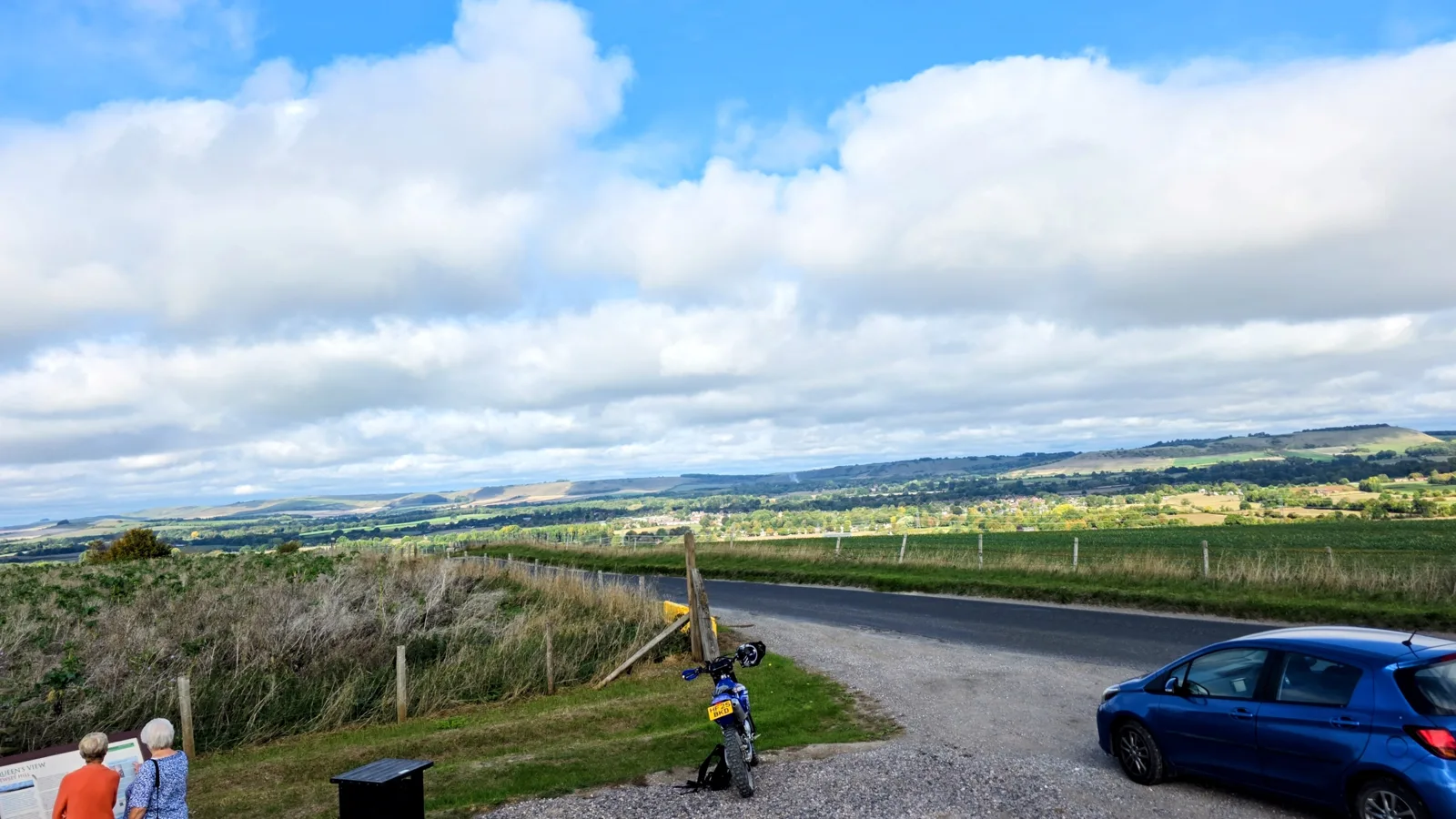
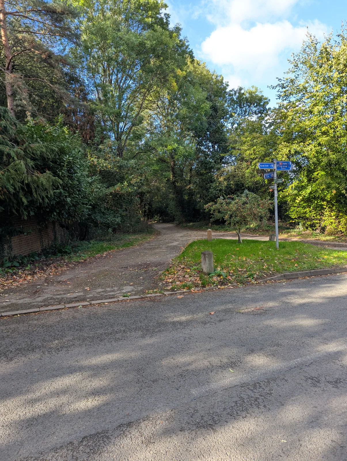
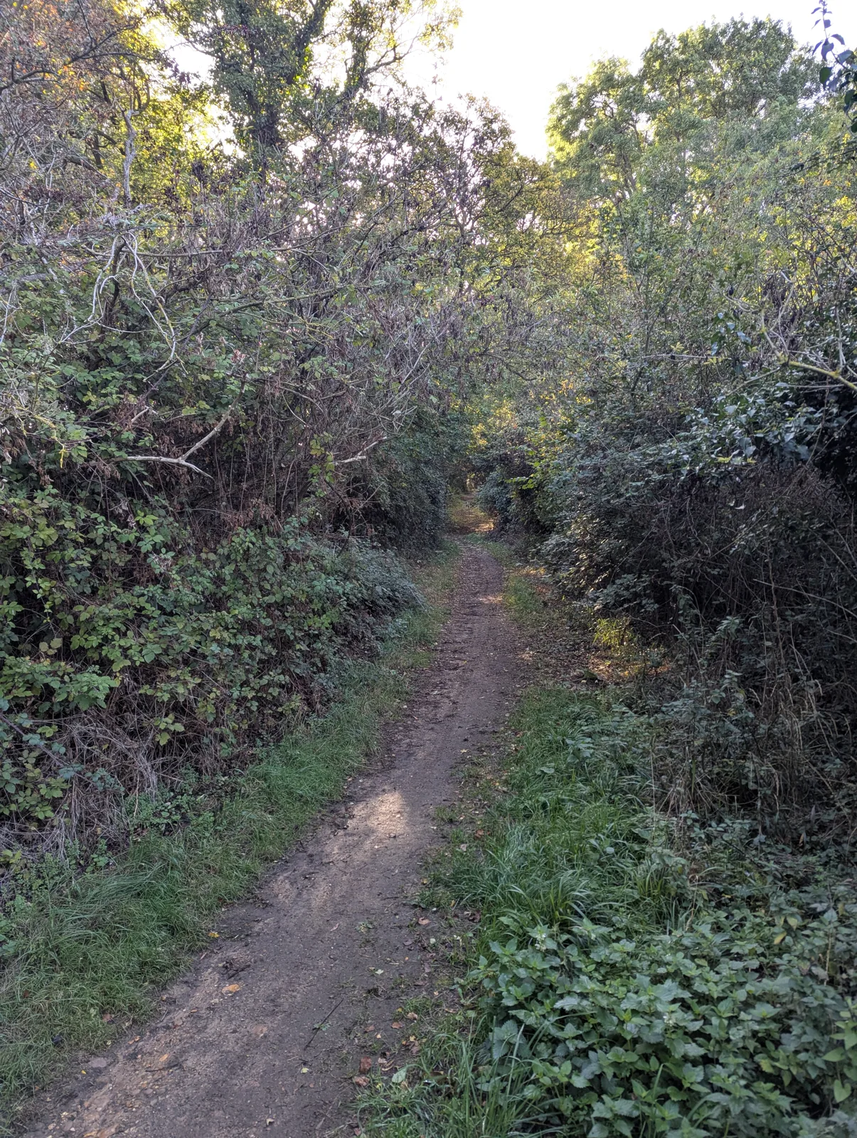
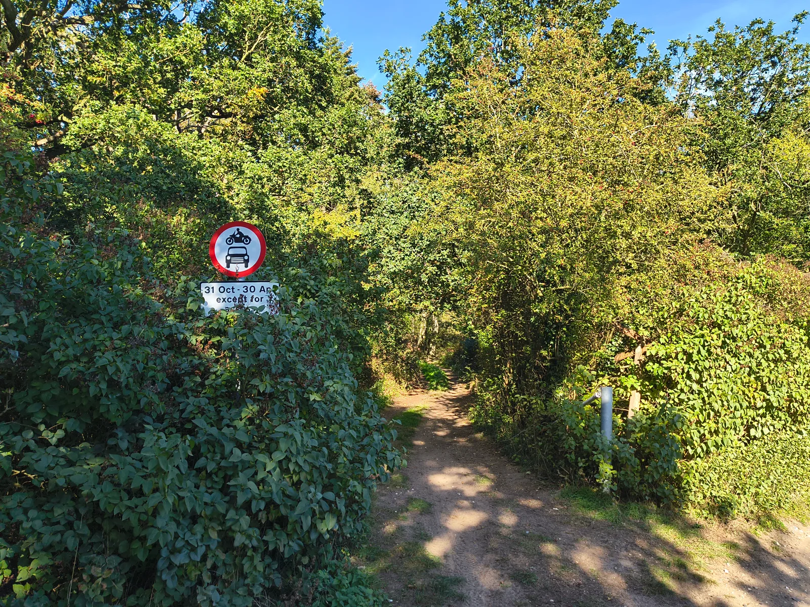
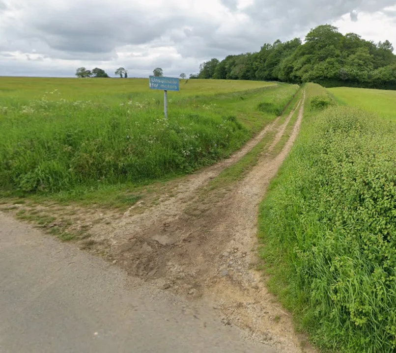
No motor vehicles permitted.
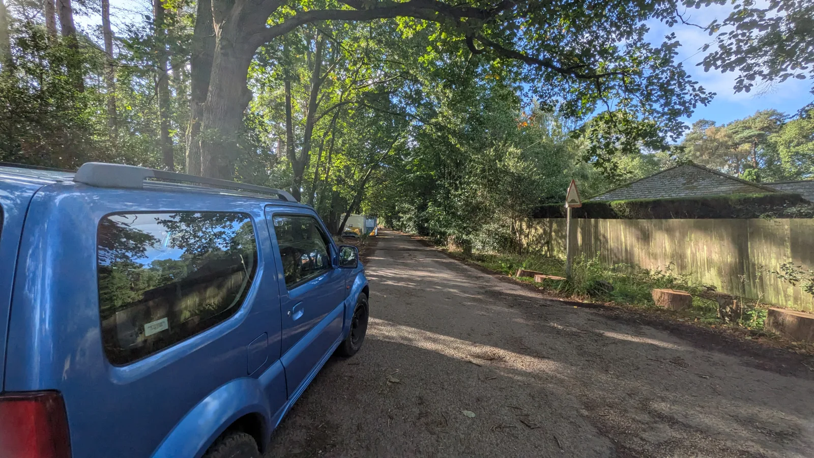
Member-drawn routes across the network.
Pan and zoom every byway in Britain on Standard, Satellite or Topo layers — then filter by rating, difficulty, photos or your favourites.
Open any lane or route in 3D and see it draped over the real terrain — which side of the valley it runs, whether that climb is a drag or a wall. Spin it, tilt it, exaggerate the relief, or hit Fly route and let the camera run the whole thing facing the way you'd be travelling.
Shade the map by how much rain has fallen — the last 24 hours, or the last 7 days. A week's worth is the one that decides your Saturday: 5 mm on chalk is nothing, 5 mm on clay is a bog. Sits over every map style, with its own palette and opacity.
Flick on Relief in the layers panel and the map picks up the shape of the ground — ridges, valleys and escarpments you'd never spot on a flat map. Works over every map style, with a strength slider.
Standard and Topo tell you a lane's designation and its name; only the imagery tells you its surface. Pop satellite out into a floating window and it mirrors exactly what your map is showing — pan or zoom and it follows frame for frame, with your lanes and routes drawn over the top. So a bend a third of the way across your map is a third of the way across the window: nothing to line up, nothing to aim. Drag it anywhere, size it to suit. Desktop and laptop.
Got two screens? Open satellite as a window of its own, drag it onto the second one, and it follows your main map — same centre, same ground, moving as you pan and zoom, with your lanes and routes drawn over the imagery. Any size or shape of screen works: it fits its zoom to its own width, so a big monitor shows that ground sharper than the map you're driving while your main screen keeps the names and designations. On Chrome and Edge it finds the second screen and fills it for you. Desktop and laptop.
Hold the M key and every lane, route, pin, photo and label lifts off the map for as long as you hold it — the quickest way to see what a line actually crosses: a ford, a gate, a field boundary. Let go and it's all back exactly as it was. Nothing is switched off and nothing is saved; it's a look, not a setting. Best of all in 3D, where it leaves you with nothing but the hills.
Find any place, named lane or route in one search — tap a result to fly straight there.
Star a lane, give it your own name, and fly straight back to it whenever you like.
Trace a route on the map, set its difficulty, surface and firmness, and save it — public for everyone or private just for you. Each route works like a lane of its own, with ratings, comments, photos and a GPX download.
Tap on a lane while you're drawing and the route locks onto it — tap again further along and it follows the real thing, every bend and kink, carrying on through junctions onto connecting lanes. Not just byways: bridleways, unclassified lanes, every road in Britain and half a million farm tracks all count. Linking a handful of green lanes into one route is a few taps rather than fifty. Tap away from the lanes and you're back to placing points wherever you like.
Right-click anywhere to drop a pin and pick its type — parking, a gate, a ford, a viewpoint and more — each shown with its own icon on the map. Add a name and notes, keep it private or share it with everyone, and navigate straight to it.
Give a lane a star rating and a difficulty grade, from Easy to Severe. See the community average before you set off.
Every lane and route gets an elevation profile — total ascent, descent and the gradient before you commit.
Add photos to any lane — and geotagged shots drop as little thumbnails right where they were taken.
Share what a lane's really like — surface, gates, conditions. Reply to others and react with emoji.
Flag any comment as a review to write a lane up as a full trip report — with photos, likes and replies. Browse everyone's reviews in one place and jump straight to the lane.
Earn points for everything you add — naming lanes, comments, photos, ratings, routes and pins. The top ten contributors get a 🥇 beside their name; tap 🏆 to see where you rank.
Tap 🏁 Mark as visited on any lane or route to say you've actually been. It's a public record: each panel gains a Visited by tab listing everyone who's driven it, and your profile keeps a Visited count and the full list. Filter the map down to the lanes you've done — or flip it to Not visited to see what's left, which is usually the more useful question. Top Explorers then ranks every member by how much of the network they've covered.
Keep private notes on any lane — gate codes, parking, where to turn round — with photos. Only you can see them.
Follow other members and get a feed of their latest lanes, routes, photos and comments.
A live feed of the latest activity and a photo wall from across the whole community.
An AI digest of what the community's been up to — new lanes, routes, reviews, photos and members — in a friendly daily round-up you can tap straight through to.
Send instant direct messages to other members — swap local knowledge, plan a ride, or ask about a lane one-to-one. Or post to everyone at once in the group chat, where you can share routes and pins with all members.
See other members ordered by how close they are to you — a simple way to find people laning in your part of the country.
Directions to the trailhead, a Street View peek at the entrance, or the full track as a GPX file for OsmAnd, Gaia and Komoot. Got a track already? Import a GPX file straight into your routes — we'll work out the elevation for you.
Switch on live follow and the map locks to you, moving as you ride so you can see exactly where you are along the lane.
Dartmoor is the only place in England and Wales with a legal right to wild camp — the Park Authority's own permitted-areas map, 70 commons and 28,272 hectares, shaded onto the map. Backpack camping only: no pitching beside the vehicle.
The whole interface is built glove-friendly — oversized buttons, menus and controls throughout — so you can work the map, filter, comment and share without peeling your gloves off.
Install Find Green Lanes straight from your browser for a full-screen, app-like experience — launched from your home screen, no address bar.
A daily round-up of the latest lanes, routes, reviews and photos — written fresh each day.
Thousands of these tracks have no name at all. Be the first to name one and it's yours — shown to everyone who finds it, for good.
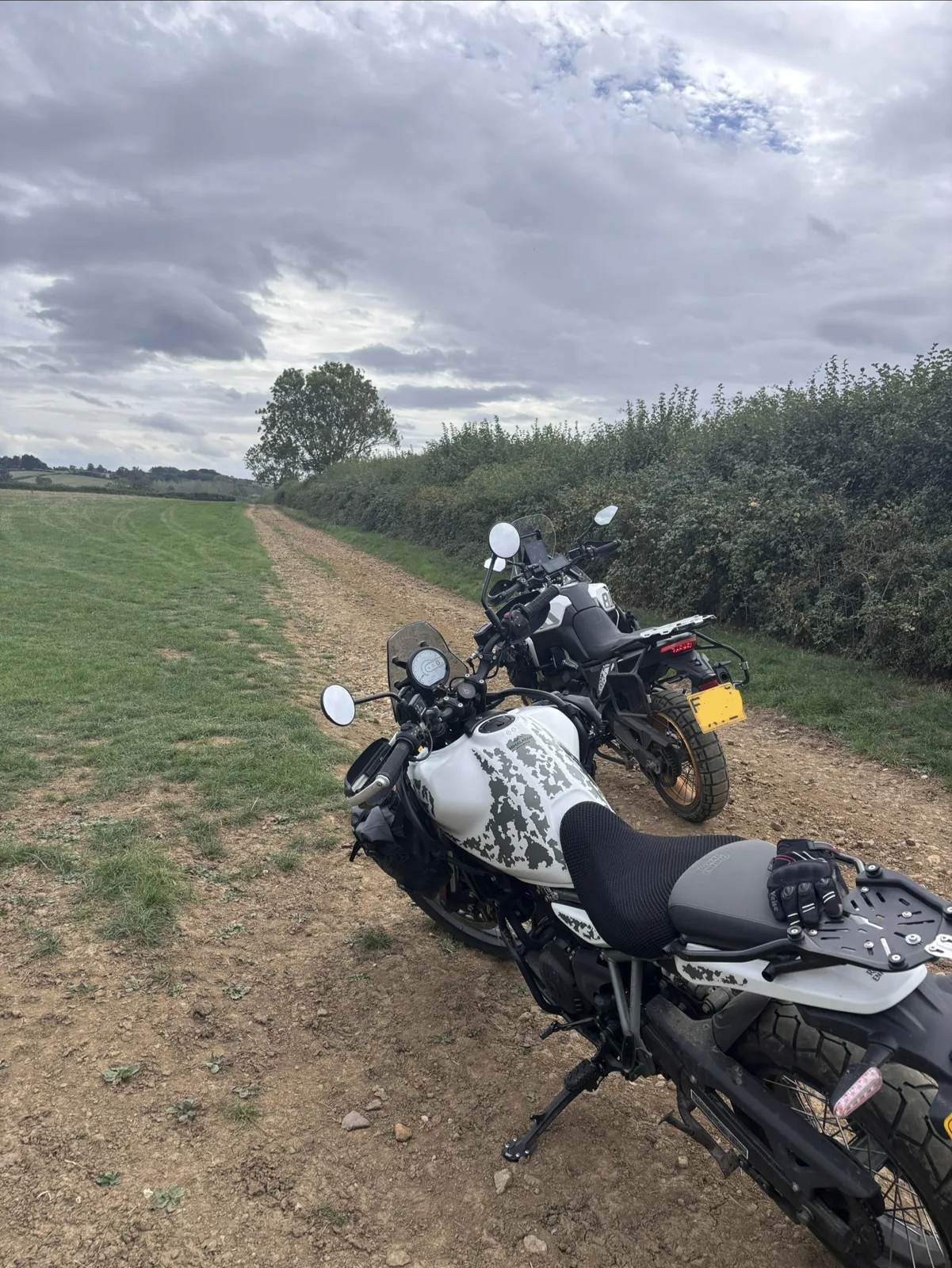
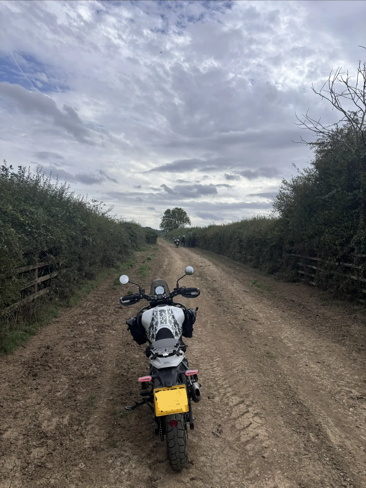
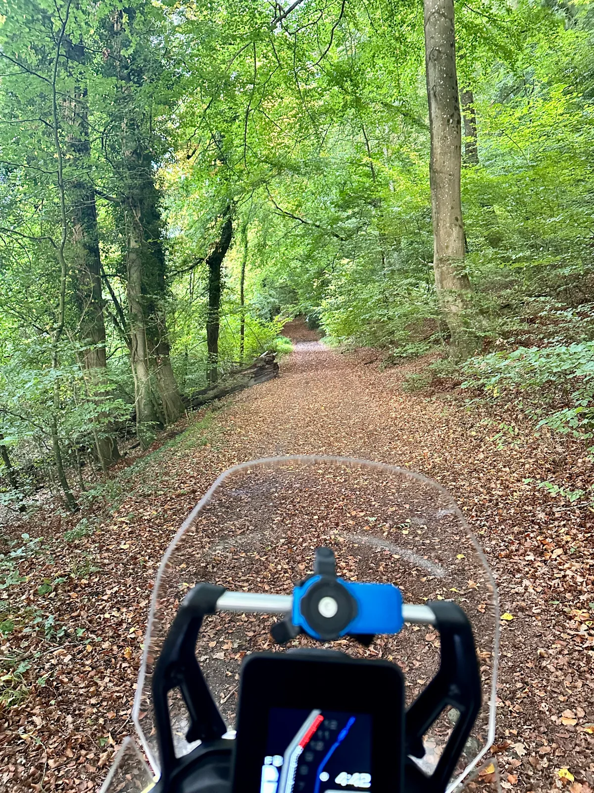
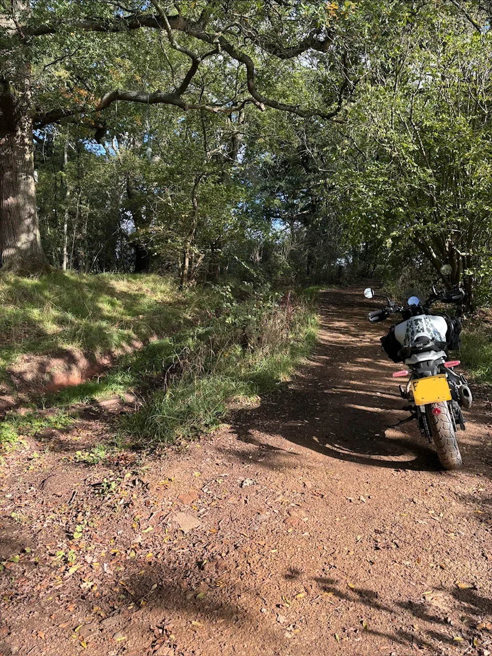
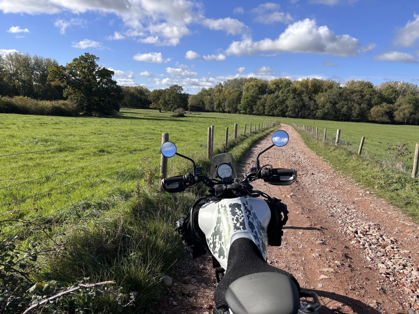
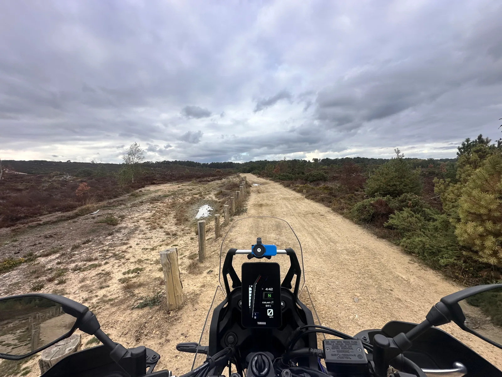
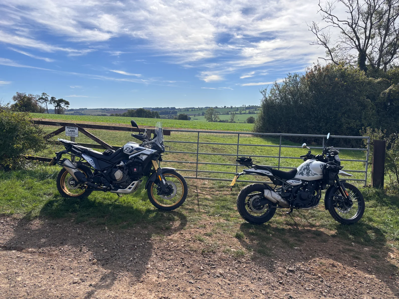
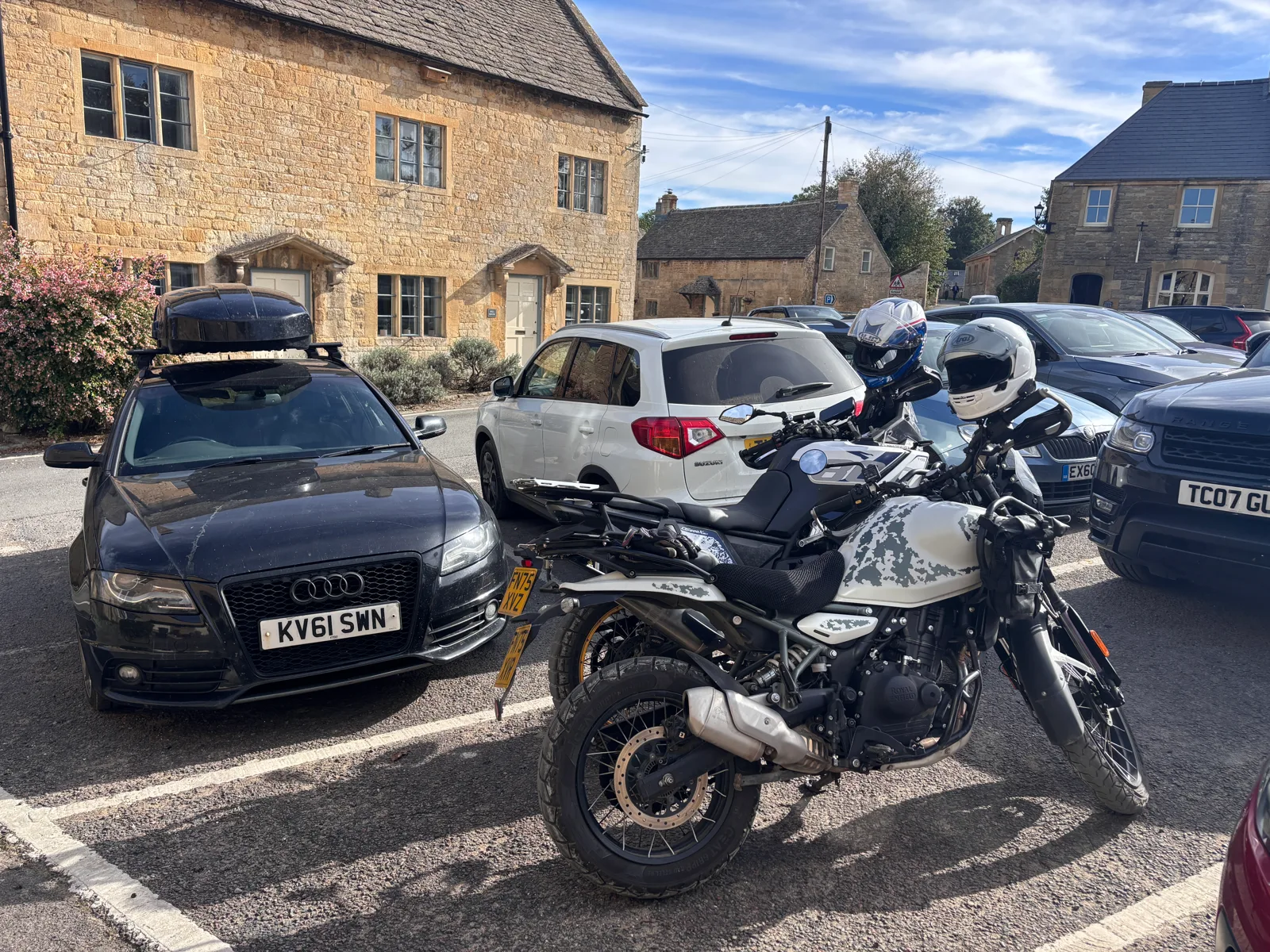
I'm Dan Bailey from Christchurch. After 12 years away from biking I bought a Himalayan 450 — and immediately went looking for byways to ride. I searched and searched the internet, and even when I did track a few down, actually navigating to them was a pain.
So Find Green Lanes was born. Now I can pick a byway, hit Navigate, and I'm taken straight to it in Google Maps. From there it grew into something more social — interactions between users, photos, messaging and much more.
It's early days, but it's coming together nicely.